
Real-time GNSS products slow PPP-AR convergence at strict accuracy levels, study finds
Researchers at Technische Universität Berlin and GFZ Potsdam, with Chang'an University, compared archived real-time and final post-processed orbit and clock products for precise point positioning with ambiguity resolution (PPP-AR). The paper appeared in Satellite Navigation on 7 October 2026.
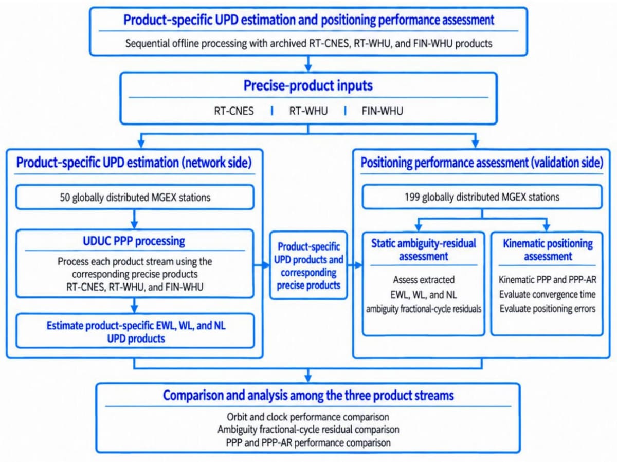
They processed 31 days of data from 249 MGEX stations using real-time streams from CNES/CLS and Wuhan University, plus final Wuhan products, across GPS, Galileo and BDS-3.
For GPS-only triple-frequency solutions, vertical convergence to 10 cm took about 26.5 minutes with real-time Wuhan products and 15.5 with final products. Combining GPS, Galileo and BDS-3 cut these to about 6.5 and 1.5 minutes. At a 5 cm threshold, GPS-only times rose to about 71 and 24 minutes. The streams were processed offline with uninterrupted corrections, so latency and outages are not reflected.
Why it matters: Surveyors and precision-agriculture users relying on real-time PPP corrections can expect centimetre-level results only with multi-constellation, multi-frequency receivers and stable correction links. Tighter tolerances still favour post-processing. Real-world latency and outages would lengthen convergence further.
Read the full story at Satellite Navigation (Springer Nature) →