
Remote Sensing & EO
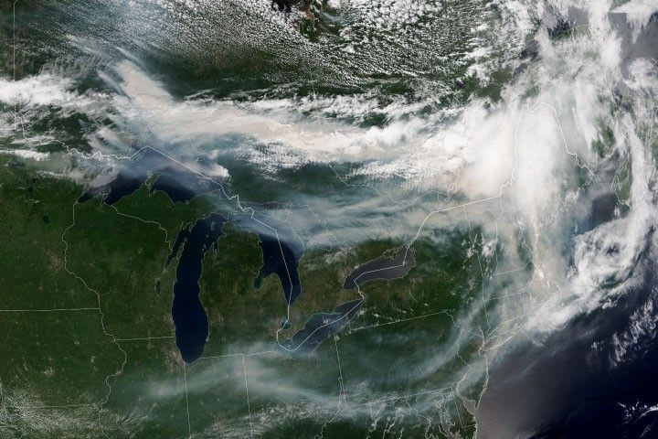
Ontario Wildfire Smoke Moves East, Monitored by Satellite Imagery
Smoke from Ontario wildfires, captured by the NOAA-21 satellite, spread eastward across Canada and the U.S. in mid-July 2026. The widespread smoke significantly impacted air quality, reaching unhealthy levels in some areas and compounding health risks during a heat wave.