
Remote Sensing & EO
New Zealand Scientists Enhance Coastal Change Monitoring with High-Resolution Satellite Imagery
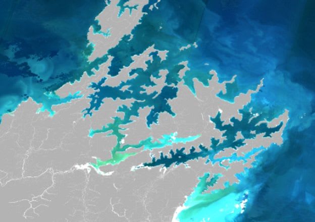
New Zealand scientists are utilizing high-resolution Sentinel-2 satellite imagery to monitor coastal changes, including suspended sediment and phytoplankton blooms. This enhanced capability provides vital insights into environmental shifts in previously hard-to-monitor inshore and narrow coastal…