
Remote Sensing & EO
New Satellite Tool SHABA Maps Mining's Environmental Impact on Vegetation Globally
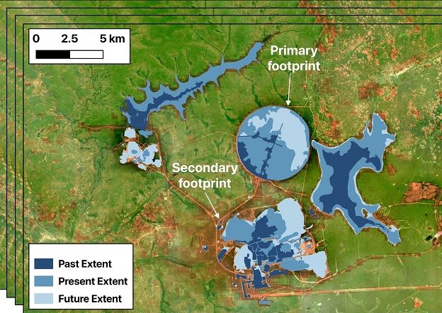
Researchers at HZDR have developed SHABA, a new satellite-based remote sensing tool that analyzes spatial and temporal vegetation changes near mining sites. This innovative tool factors in seasonal fluctuations to reliably detect and quantify the global environmental impact of mining operations.