
Remote Sensing & EO
New Mapping Method Reveals Hidden Valleys Beneath Greenland's Ice Sheet
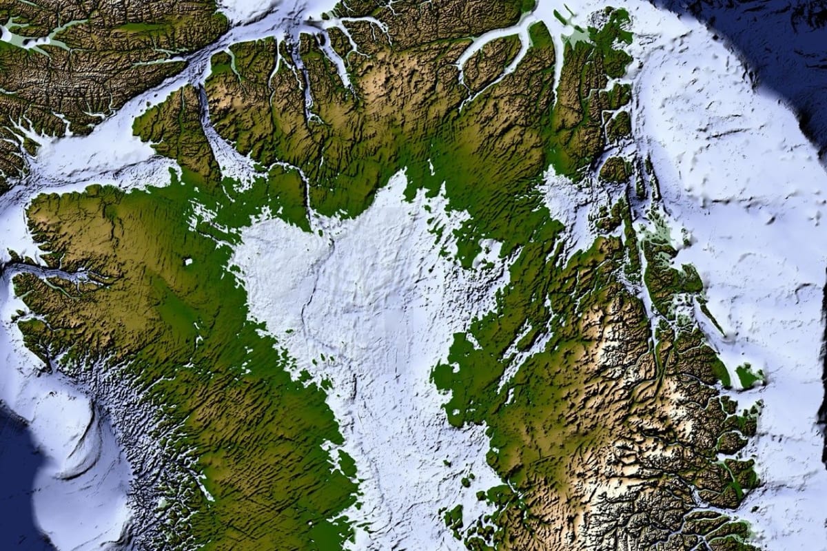
A newly developed method, Ice Flow Perturbation Analysis, for mapping the bedrock beneath Greenland’s ice sheet reveals the island’s hidden topography. This detailed map uncovers an expansive network of subglacial valleys, offering new insights into Greenland's geologic history and aiding future…