
Remote Sensing & EO
Nepal Floods: How Satellite Data Reconstructs a Himalayan Disaster
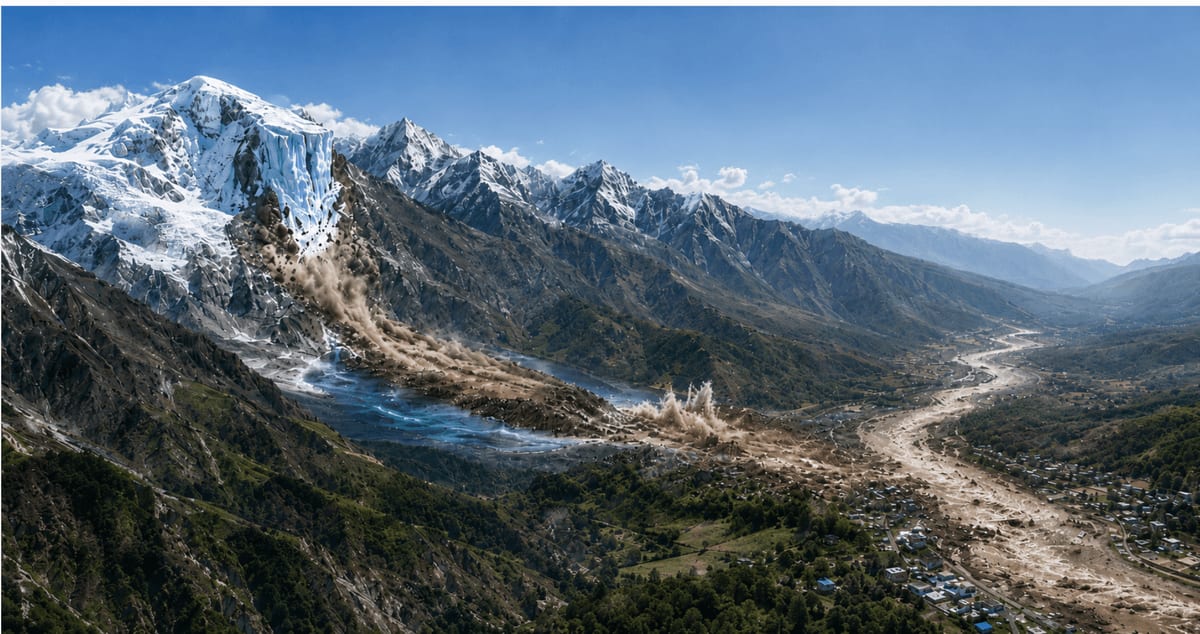
Satellite imagery, seismic records, and river monitoring are being used to reconstruct a devastating flash flood in Nepal's Rasuwa district. This multi-faceted approach helps scientists understand rapid natural hazards in remote, difficult-to-access mountain terrain.