
Remote Sensing & EO
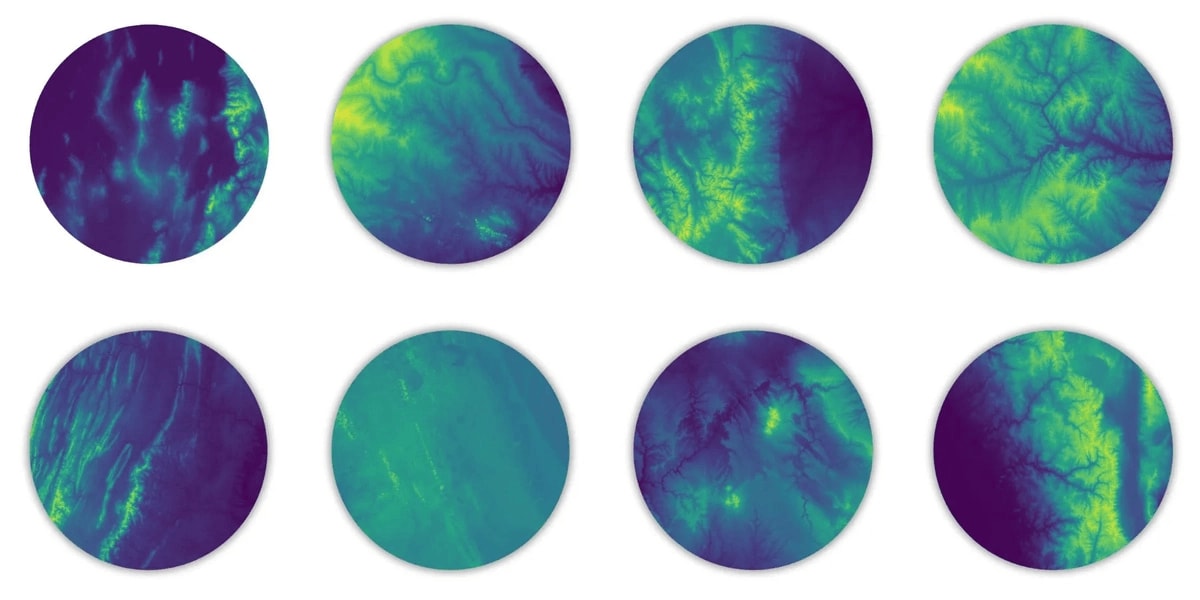
MSU Researchers Harness Satellite Data and HPC to Map Complex Landscapes
Michigan State University researchers are leveraging satellite data and high-performance computing to map complex landscapes, revealing crucial geodiversity metrics for ecological studies. This approach helps overcome challenges in processing massive datasets and provides a more nuanced…