
Remote Sensing & EO
Morocco digitizes land registers and integrates satellite imagery with advanced GIS systems in 2025
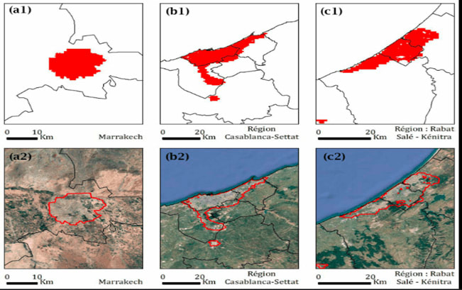
The Moroccan government institutions are digitizing land registers, mapping rural and urban terrain, and integrating satellite imagery with advanced GIS systems to monitor environmental change and enhance urban planning. They are upgrading spatial data infrastructures and deploying new geo-analytics tools, thereby enhancing resource management and addressing challenges like natural disasters and urban sprawl.