
AWF details how GeoHubs and GIS turn biodiversity pledges into action in Africa
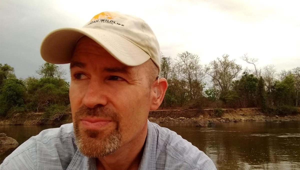
Ahead of CBD COP17 in Yerevan (19–30 October 2026), the African Wildlife Foundation set out how its Conservation Geography team applies GIS to conservation and development planning. David Williams, its Senior Director of Conservation Geography, describes the work.
In Cameroon's Dja Faunal Reserve, an AWF and Esri Degradation Dashboard flagged road expansion in the buffer zone in 2023, prompting action by the wildlife authority and UNESCO. In Tanzania's Vidunda catchment, spatial analysis ranked forest-restoration sites for water flows. In Amboseli, a geospatial hub built with Kajiado County gives stakeholders a shared public picture, and elephant habitat suitability has been modelled.
AWF's Conservation GeoHubs use Esri's ArcGIS Hub. It also runs a Geospatial Leaders Fellowship and, with African Leadership University, a wildlife economy investment toolkit. Williams says the gap is "last mile delivery", not data.
Why it matters: The work shows how hub-based platforms and fellowships can close the gap between available biodiversity data and decisions by rangers, planners and investors. It offers a practical model for African countries reporting against the 2030 Kunming–Montreal targets.