
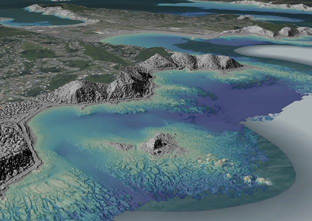
LINZ invites organisations to join 3D Coastal Mapping Advisory Group
Land Information New Zealand (LINZ) announced on 29 October 2026 that it is recruiting organisations to its 3D Coastal Mapping Advisory Group. Government bodies, iwi, scientists, academics, industry and community groups can take part.
Members work with the programme team to test a specific use of the coastal and seafloor data and record the benefits. Examples include tsunami and storm-surge modelling, erosion assessments, search and rescue support and detecting coastline change. Organisations join once data relevant to them is published and usually stay until their use case is finished.
The programme began in late 2023, runs to June 2028 and is mapping up to 40 per cent of New Zealand's coastline, prioritising populated areas, key infrastructure and places at higher risk of inundation. The next intake opens in March 2027; interest can be registered at 3DCM@linz.govt.nz. A progress tracker shows published and upcoming areas.
Why it matters: The scheme shows how a national mapping agency can tie coastal LiDAR and bathymetry releases to documented user cases. Coastal African agencies planning similar surveys could draw on this model for demonstrating value and uptake.
Read the full story at Toitū Te Whenua Land Information New Zealand (LINZ) →