
GIS & Mapping
Lesotho launches a World Food Programme (WFP)-powered GIS platform
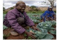
The Government of Lesotho in collaboration with the World Food Programme has developed a GIS-powered platform that would help farmers and families anticipate and prepare for extreme events. It involves training and equipping up to 3,000 farmers on planning, cropping, and overall production codes.