
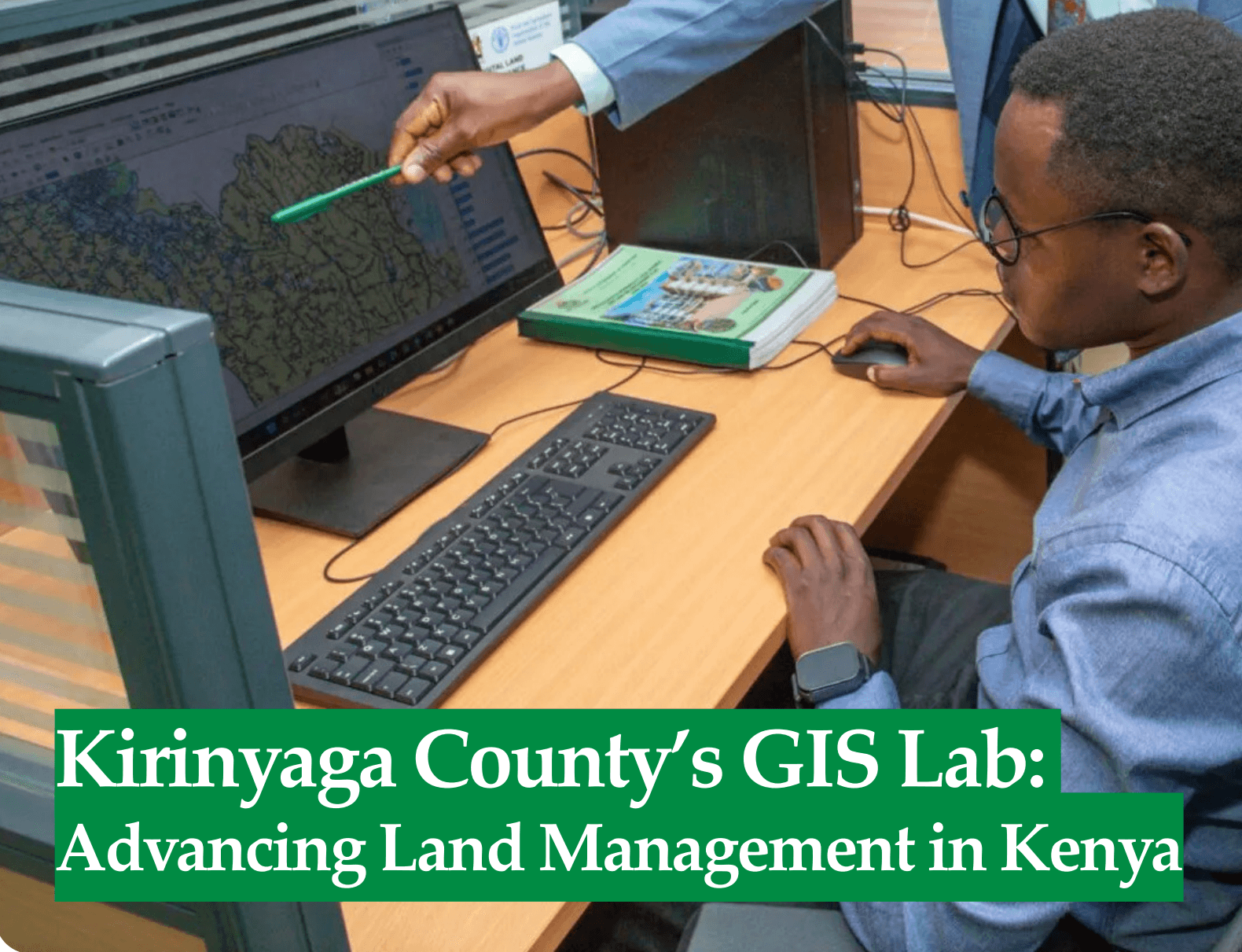
Kirinyaga County's GIS Lab: Advancing Land Management in Kenya
Geographic Information Systems (GIS) are revolutionizing governance and service delivery across Africa by enabling data-driven decision-making. In Kirinyaga County, Kenya, the Department of Lands, Physical Planning, Housing, and Urban Development has established a state-of-the-art GIS laboratory to enhance land administration and urban planning. This initiative, supported by the county government and national partners, demonstrates the transformative potential of geospatial technologies in addressing local challenges such as land disputes, urban sprawl, and inefficient service delivery. This article examines the establishment of Kirinyaga's GIS lab, its methodologies, and its implications for sustainable land management in Kenya.
Kirinyaga County, located in Kenya's Central Region, is a hub of agricultural productivity and rapid urbanization. With a population of over 600,000 and a growing demand for land resources, the county faces challenges including land tenure disputes, informal settlements, and outdated land records. The establishment of the GIS lab responds to these issues by providing a centralized platform for spatial data management, enabling the county to streamline land-related services and improve governance.
Funded by the county government and equipped with modern hardware and software, the GIS lab serves as a model for devolved governance in Kenya. By digitizing land records and mapping spatial features, the initiative aligns with national policies such as the Kenya Vision 2030, which emphasizes technology-driven development, and supports the Sustainable Development Goals (SDGs), particularly SDG 11 (Sustainable Cities and Communities).
GIS Methodologies and Implementation
The Kirinyaga GIS lab leverages advanced geospatial technologies to enhance land administration. Key methodologies include:
- Digitization of Land Records: The lab converts paper-based land registries into digital formats, creating georeferenced databases of parcels, ownership, and land use. This process involves scanning historical records and integrating them with GIS software for spatial visualization.
- Spatial Mapping and Analysis: High-resolution satellite imagery and cadastral surveys are used to map land boundaries, infrastructure, and urban settlements. GIS tools enable overlay analysis to identify overlaps in land claims or zoning conflicts.
- Capacity Building: The county has trained staff in GIS software (e.g., ArcGIS, QGIS) and data management, ensuring sustainable operation of the lab. Partnerships with national institutions, such as the National Land Commission, facilitate knowledge transfer and technical support.
- Public Access Portals: The lab is developing a web-based GIS platform to allow residents to access land information, verify titles, and report issues, promoting transparency and reducing bureaucratic delays.
These methodologies highlight the integration of GIS with governance, enabling precise and scalable solutions for land management.
Applications for Service Delivery
The GIS lab offers numerous applications for improving services in Kirinyaga County:
- Land Dispute Resolution: By providing accurate, georeferenced land records, the lab helps resolve boundary conflicts and verify ownership, reducing litigation and fostering community trust.
- Urban and Regional Planning: Spatial data supports the development of master plans for towns like Kerugoya and Kutus, guiding infrastructure placement and zoning to accommodate population growth.
- Revenue Collection: Accurate parcel mapping enhances property tax assessments, increasing county revenue while ensuring fairness in taxation.
- Disaster Risk Management: GIS enables the mapping of flood-prone areas and other hazards, informing resilient urban planning and emergency response strategies.
These applications underscore the role of GIS in creating efficient, transparent, and inclusive governance systems.
Implementing a GIS lab in a county setting presents challenges, including high initial costs for equipment and training, limited internet connectivity in rural areas, and the need for continuous data updates. Additionally, public awareness of the lab's services remains low, requiring outreach to ensure community engagement.
Future plans include expanding the lab's scope to integrate real-time data (e.g., from IoT sensors for environmental monitoring) and collaborating with universities to train the next generation of GIS professionals. The county also aims to share its model with other Kenyan counties, promoting regional adoption of geospatial technologies.
Kirinyaga County's GIS laboratory represents a significant step toward modernizing land management in Kenya. By harnessing geospatial data, the county is addressing longstanding challenges in land administration, urban planning, and service delivery. For Afrospatial Magazine's readers, this initiative serves as a compelling example of how GIS can drive sustainable development in African contexts. As counties across Kenya and beyond adopt similar technologies, the Kirinyaga model offers valuable lessons for leveraging GIS to build resilient, inclusive communities.