
Kenya modernizes land data management.
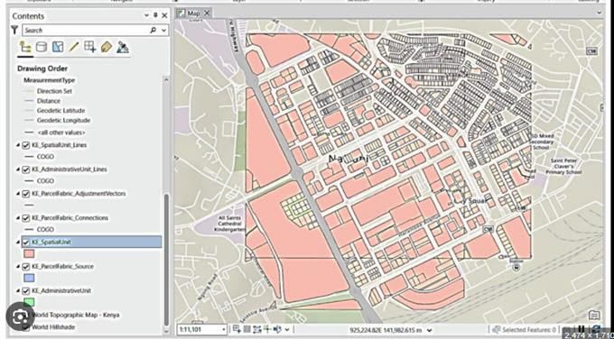
Government agencies are digitizing land records and upgrading spatial data infrastructures, substituting conventional paper-based systems for dynamic digital stores. They are consolidating information from various sources and making access to accurate land information more straightforward. The effort is making land records more transparent and improving the reliability of records, as well as allowing officials to manage land resources better. Meanwhile, government agencies are embracing new GIS-based systems to enhance urban planning and resource management.
They are applying advanced mapping technologies and processing real-time spatial information to make informed land-use decisions. This is fueling smarter development strategies and facilitating sustainable urban and rural growth, revolutionizing the way communities manage and interact with their surroundings.