
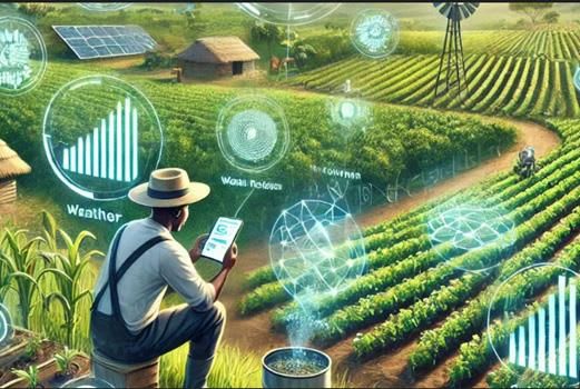
Kenya implements generative AI to revolutionize GIS
Generative AI is transforming GIS in Kenya through natural-language, intuitive interaction with spatial data, without the need for a lot of programming or manual querying. With AI-powered tools, users can now query, for example, “Show flood-risk areas in Nairobi” and receive dynamic visualizations and relevant analytics. Such functionality fosters efficiency in urban planning, environmental sustainability, and disaster response by allowing professionals to read spatial relationships quickly and gain insights. AI-driven GIS solutions also automate the cleaning of data, feature extraction, and predictive modeling, significantly improving decision-making accuracy. With the further evolution of generative AI, its use in geospatial intelligence will increase, fostering more open, intelligent, and adaptive mapping solutions.