
GIS & Mapping
Kenya administers precision navigation with Galileo
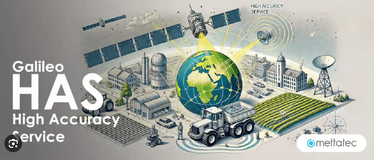
The Galileo High Accuracy Service (HAS) is revolutionizing location-based technologies with centimeter-level precision, significantly enhancing industries relying on geospatial accuracy. Autonomous driving systems are enhanced with more precise route mapping and obstacle detection, reducing navigation errors and enhancing safety.
Drone operations also now have more precise flight trajectories for utilization in services such as surveying, delivery, and disaster response. With real-time corrections and minimized positional drift, Galileo HAS is improving geospatial applications in agriculture, logistics, and smart city planning, and innovating autonomous mobility and spatial intelligence.