
Indigenous map panels to record Mississippi River place names and flood testimony
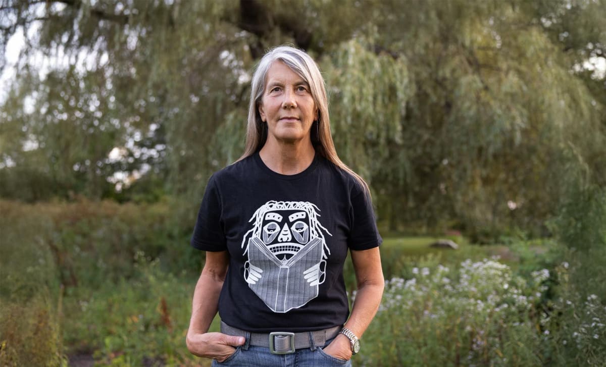
Cartographer Margaret Wickens Pearce, a Clark University geography alumna and Citizen Potawatomi Nation member, is leading Mississippi Dialogues, an intertribal public art and mapping project on the upper Mississippi River. She is working with the Dakota, Ho-Chunk, Meskwaki and Ioway nations to map public testimony about flooding and Indigenous place names.
The project covers a 200-mile stretch from Hastings, Minnesota, to the mouth of the Galena River. This autumn, large map panels are due at Colvill Park in Red Wing, Minnesota, and Casper Bluff Nature Preserve in Galena, Illinois. Each panel pairs an Indigenous artisan's woodwork with her map.
Interviews are transcribed by hand under a pledge not to use machine learning or AI, because the material is treated as cultural property. The project lost National Endowment for the Humanities funding in 2025, and Pearce redirected her MacArthur fellowship money to it. She hopes eventually to install about 14 panels along the whole river.
Why it matters: The project shows how community-led cartography can embed Indigenous knowledge and data-sovereignty limits, such as a ban on AI transcription, into public mapping. Practitioners working on participatory mapping and heritage data can draw on its approach.