
GIS & Mapping
High-Resolution Seabed Mapping Underway Along Australia's Eastern Coast
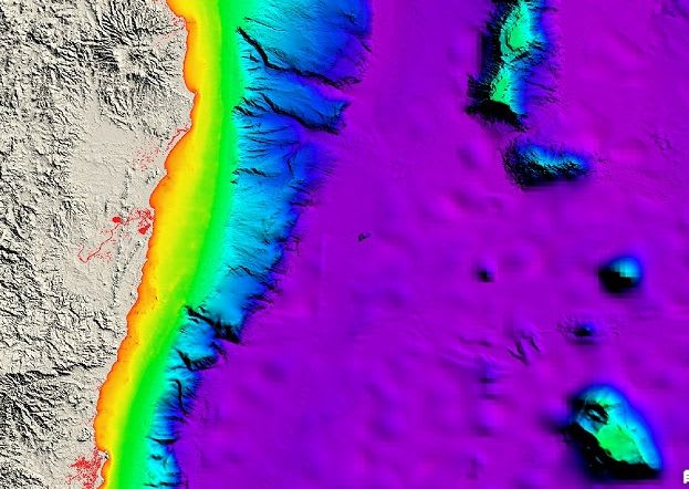
CSIRO's RV Investigator is undertaking a seven-day voyage to conduct high-resolution seabed mapping along Australia's eastern coast. This initiative aims to replace outdated data, providing crucial information for safe navigation, marine planning, environmental management, and scientific research.