
Remote Sensing & EO
High-Resolution Satellite Data Monitors Coastal Changes in New Zealand
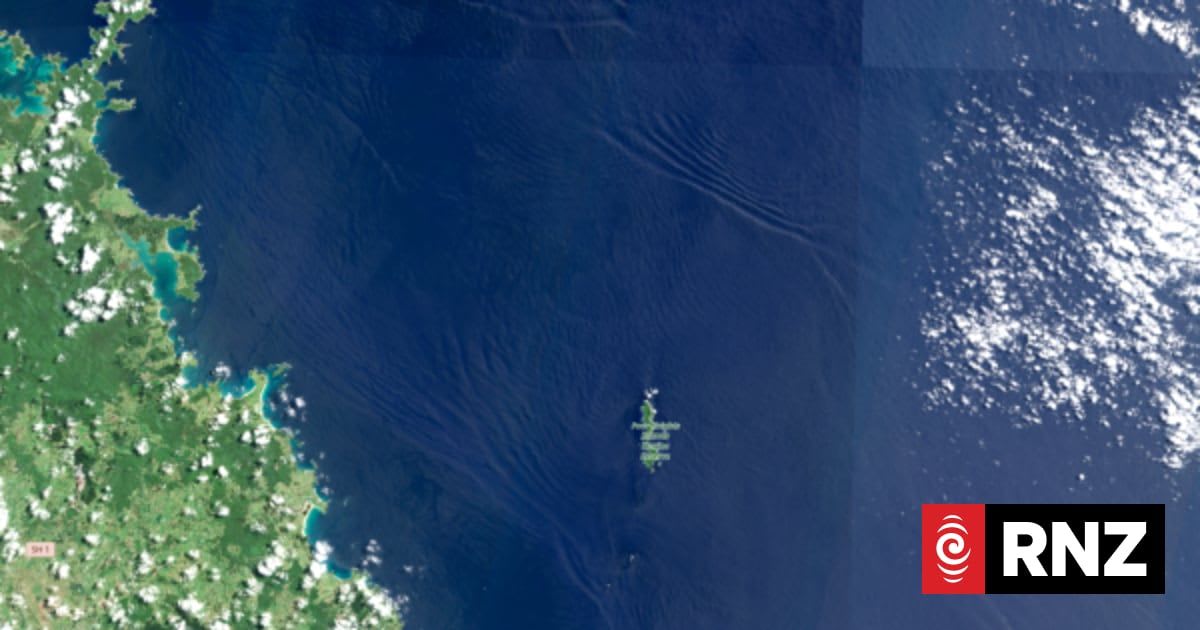
Earth Sciences NZ is utilizing new high-resolution satellite data from the European Space Agency to track coastal changes in New Zealand. This data helps monitor water color, sediments, and phytoplankton, providing crucial insights into the impacts of climate change and land-use on marine…