
Skip to content
Afrospatial — Mapping the World, Connecting Perspectives
ArticlesNewsMagazinePartnershipsAdvertiseAbout
  • 3D & Digital Twins
  • Agriculture
  • Careers & Training
  • Climate & Environment
  • Disaster Management
  • Drones & UAV
  • GIS & Mapping
  • GNSS & Surveying
  • GeoAI & Data
  • Industry & Policy
  • Land Administration
  • Public Health
  • Remote Sensing & EO
  • Space & Satellites
  • Urban Planning
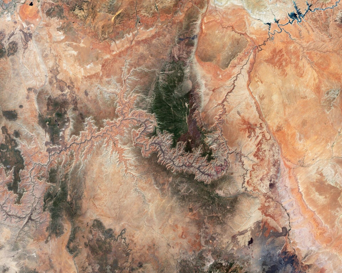
Grand Canyon Revealed: Satellite Views and Digital Elevation Models from Space
Remote Sensing & EO

Grand Canyon Revealed: Satellite Views and Digital Elevation Models from Space

July 3, 2026 Source: European Space Agency

Explore the Grand Canyon through stunning satellite imagery from the Copernicus Sentinel-2 mission and a Digital Elevation Model. These views highlight the canyon's geological heritage and demonstrate how Earth observation data aids in landscape analysis and various applications.

Read the full story at European Space Agency →

← Back to News
AfrospatialMapping the World, Connecting Perspectives.

Read

  • Articles
  • News
  • African news
  • Magazine
  • Events

Company

  • About
  • Editorial standards
  • Write for us
  • Advertise
  • Partnerships
  • Contact

© 2026 Afrospatial Publishing.

PrivacyTerms