
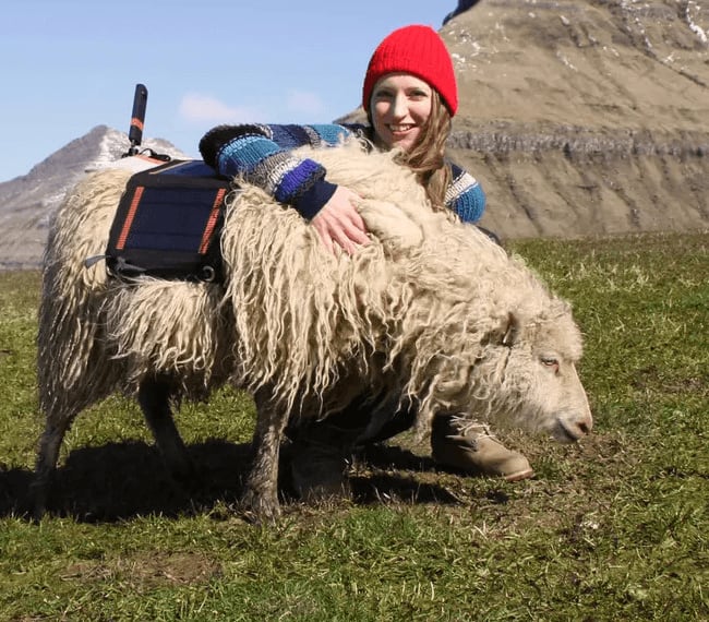
Google Street View and Sheep View 360
Google’s street view project on Guernsey Island faced challenges when local commissioners accused the company of collecting wifi data on private roads. This led to Google halting the collection prematurely, leaving the task incomplete. The Data Protection Law of 2017 prompted Google to adopt a new strategy, integrating artificial intelligence algorithms to automatically blur faces and car registration plates in uploaded images, addressing privacy concerns.
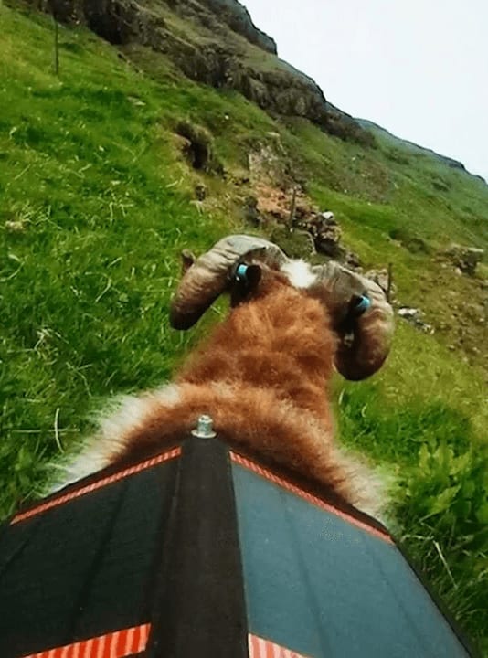
Resident Andre Quevatre documented the streets with a camera gifted on his birthday, leading to the Braye du Val and some parts of L’Ancresse. Durita Andreasen, a woman from the Faroe Islands, captured the island’s trails and tracks using a 360-degree camera and a team of sheep equipped with cameras. The footage was uploaded for further processing on Street View.
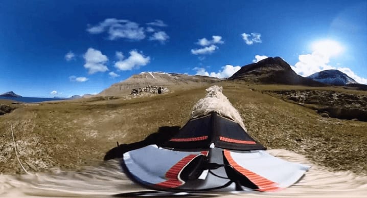
Locals campaigned for Google’s support using the Sheep view 360 campaign, which provided cameras for islanders to document their surroundings using various means. The campaign empowered the community to feature their island online and transformed the once overlooked destination into a virtual tourist attraction, highlighting its steep coastal cliffs, seabirds, serene valleys, and expansive heathlands. The collaborative effort between Google and the islanders resolved privacy concerns and transformed an obstacle into an opportunity for global visibility and appreciation.