
Remote Sensing & EO
Google Maps Platform introduces AI-powered aerial & satellite insights
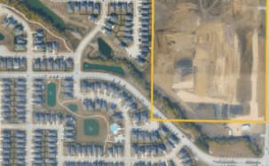
Google Maps Platform has introduced Aerial and Satellite Insights (Experimental), an AI-powered service leveraging high-resolution 3D aerial and satellite imagery from Google Earth AI. Developed in partnership with Airbus and Vexcel, the new tool enables advanced site analysis, change detection, asset management, and decision-making at scale for applications such as telecom network planning, renewable energy development, and urban monitoring. The service integrates with Gemini and Google Cloud tools, allowing users to extract insights using natural language without training their own models.