
Disaster Management
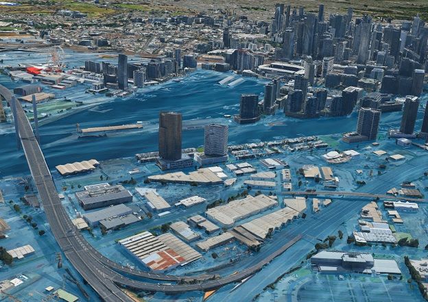
Geospatial Assessment Maps 5,000 km of Coastline for Flood and Erosion Risk
Experts at Hatch have completed a large-scale geospatial assessment of 5,000 kilometers of coastline, mapping flood and erosion risks. This initiative provides governments with consistent data to inform critical decisions on development, infrastructure, and coastal adaptation strategies.