
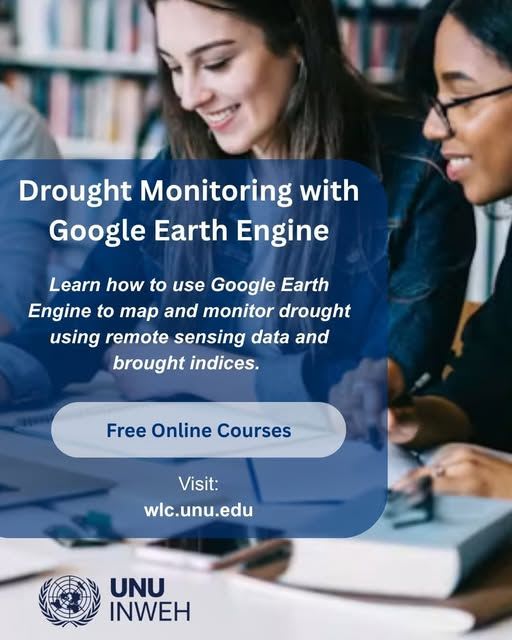
UNU-INWEH offers free online course on drought mapping in Google Earth Engine
UNU-INWEH, the UN University's water institute, lists a self-paced online course on drought assessment with Google Earth Engine in its Learning Centre. The course (INWEH-17, in English) takes about 10 hours, is open for enrolment until December 2026 and offers a certificate.
Participants learn the Earth Engine Code Editor and basic JavaScript, then work with remote sensing datasets such as MODIS, SMAP, TRMM and GPM. Content covers simple drought indices (VCI, TCI, PCI, SMCI), integrated indices (VHI, NDDI, DSI, PDSI, KBDI), spatiotemporal and time-series analysis, and zonal statistics for hotspot analysis. Teaching combines presentations and demonstrations with individual assessments.
It targets drought, water and disaster management professionals and postgraduate students. It was developed with UN ESCAP under a Central Asia drought-mechanism project funded by the Russian Federation.
Why it matters: A free, certified course gives practitioners a route into cloud-based drought monitoring without local processing infrastructure. Its methods apply to any drought-prone region, including African water and agriculture agencies with limited computing resources.