
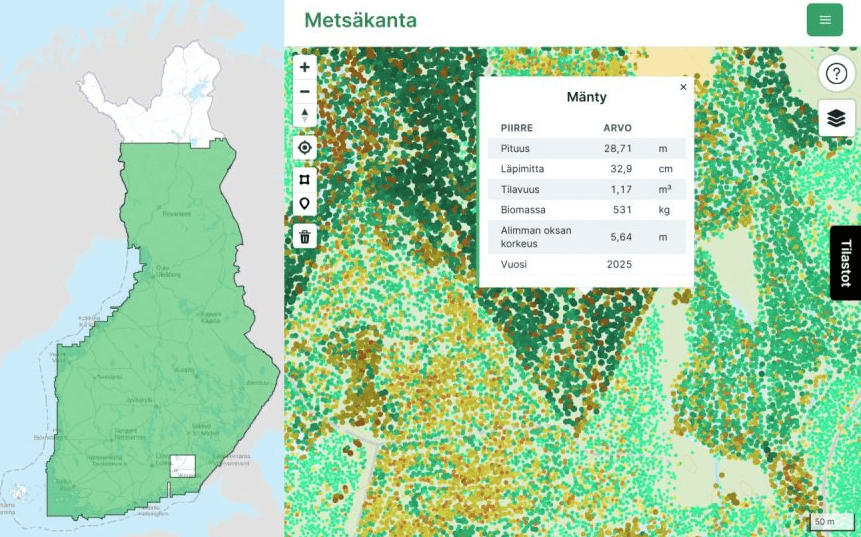
Finland's single-tree forest database grows to 8.5 billion trees from airborne LiDAR
The Finnish Geospatial Research Institute (FGI), part of the National Land Survey of Finland, announced on 2 November 2026 that its forest database has reached 8.5 billion tree records over 29 million hectares, nearly the whole of Finland. The data come from the national laser scanning programme, and the project started as a small test-area experiment.\n\nLaser scanning locates each tree and estimates its height, diameter, volume, biomass and species, instead of describing forests through grid squares or stand polygons. The main limitation is detecting small trees hidden beneath larger crowns. Point density in new national scanning is rising from about 5 to 20 points per square metre, which, combined with deep-learning methods, should improve detection. No further database updates are planned, but the methods will be reused. Main developer Matti Hyyppä called it a "digital twin of the forest". The work is part of the UNITE Flagship.
Why it matters: National-scale single-tree inventories from airborne LiDAR are now shown to be feasible, with known limits for understorey. Countries building forest inventories or national LiDAR programmes, including in Africa, can use the lessons on scaling and point density.