
Graph neural network tunes GNSS/LEO PPP weighting to cut urban positioning error
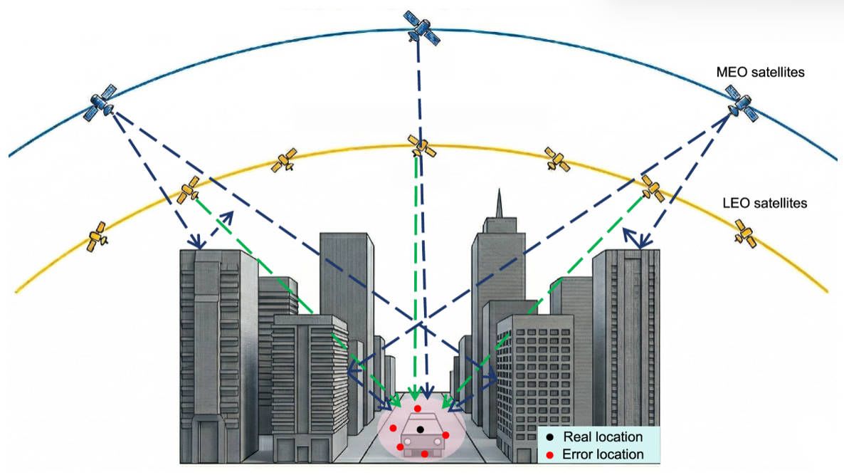
Researchers at Beijing Institute of Technology have published a method in Satellite Navigation (29 September 2026) for integrated GNSS and low Earth orbit (LEO) precise point positioning. A heterogeneous graph neural network represents each epoch as a graph of receiver, GPS, BeiDou and LEO nodes, and predicts uncertainty scale factors for each pseudorange and carrier-phase observation. These rescale covariances in a sliding-window factor graph optimisation back end.
Tests combined real vehicle GNSS data with simulated LEO observations. Average 3D RMS errors were 3.06 m in mixed, 0.67 m in open-sky and 3.00 m in urban obstructed scenarios. In the mixed test, availability was 98.93% and 60-second continuity 91.09%. In urban obstruction, 3D RMS error fell 28.4% against elevation/C/N0 weighting and 10.2% against residual weighting; mean reconvergence took 47.33 s.
Why it matters: Adaptive weighting of observations could make LEO-augmented PPP more dependable in obstructed settings such as cities. Results rely on simulated LEO data, so real-constellation validation is still needed before practitioners can rely on them.