
GIS & Mapping
Ethiopia transforms its GIS environment through (digitizing, launching, and integrating)
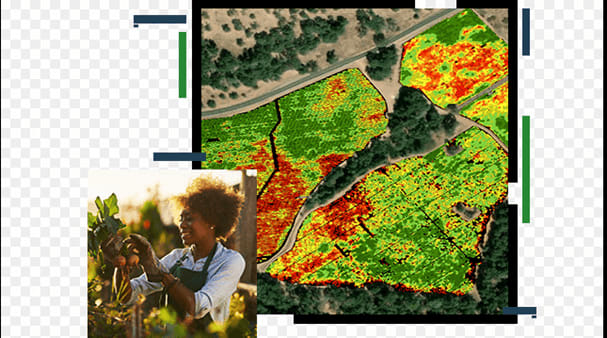
The Ethiopian Space Science and Geospatial Institute (SSGI) is digitizing massive data sets and inaugurating a new national geospatial data platform, integrating satellite imaging with ground surveys, and mapping of essential infrastructure for urban planning and climate resilience. Government agencies are improving spatial data systems, making data analytics more efficient, and enabling evidence-based decision-making, thereby enhancing the nation’s drive for digital transformation and sustainable development.