
Embark on a Geo-Odyssey: Unveiling Earth's Hidden Stories
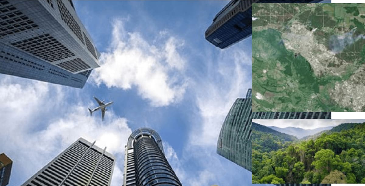
Imagine this: A vibrant tapestry unfolds, not woven with thread, but with pixels. Towering skyscrapers pierce the clouds in bustling cityscapes, emerald rainforests teem with life, and vast deserts stretch towards a fiery horizon. This isn’t just a map, it’s a portal to a hidden world, a world revealed through the power of Geographic Information Systems, or GIS. Join us on a captivating geo-odyssey as we explore how GIS is transforming our planet.
Our adventure begins shrouded in a data fog
Imagine a swirling pool of information – satellite imagery, weather patterns, social demographics, and resource distribution – all in a chaotic state. For generations, these valuable insights remained obscured, their potential unrealized.
But a beacon of innovation has emerged to pierce this data fog
GIS, our digital compass and cartographer, acts as a bridge between the intangible and the tangible. Through its transformative lens, we begin to see Earth’s hidden stories come to life.
Let’s zoom in on bustling megacities
Here, GIS empowers urban planners. Building footprints into vibrant maps, traffic flows like shimmering arteries, and heat signatures reveal pockets of vulnerability. This newfound knowledge allows cities to optimize infrastructure, create green havens, and pulse with a newfound vibrancy.
Objectives:
- To provide timely access to viable geodetic control.
- To reduce reliance on multiple chat groups.
- To provide a reliable storage space for geodetic control.
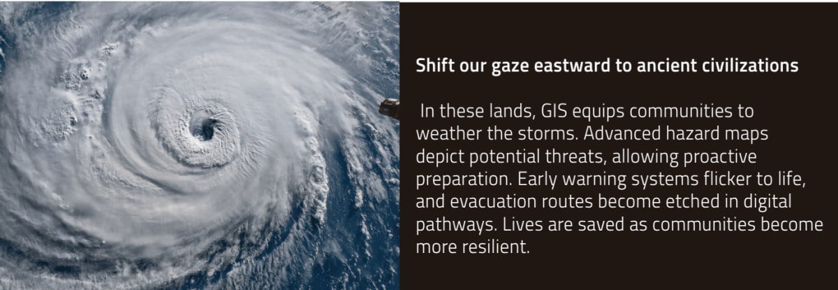
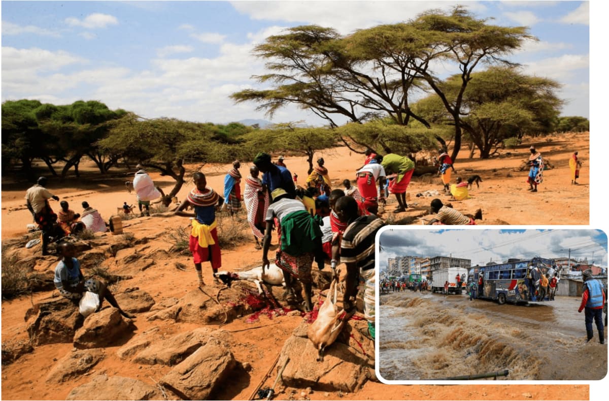
Southward we travel, to vibrant landscapes teeming with life
Here, GIS empowers environmental guardians. Real-time deforestation maps pinpoint areas under threat, allowing authorities to intervene and protect precious ecosystems. Rainforests sigh with relief as once-hidden threats are brought to light.
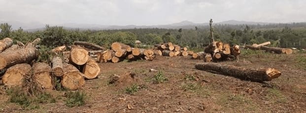
Across the vast Pacific, we land on sun-drenched islands
In these paradises, GIS aids agricultural development. Soil analysis maps paint a vibrant picture of fertility, while weather data visualizations predict optimal planting seasons. Farmers leverage this knowledge to maximize harvests, ensuring food security for communities and a bountiful future.
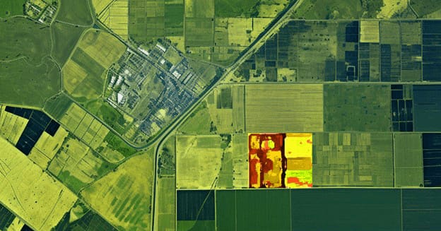
With each step of our geo-odyssey, the transformative power of GIS resonates
It’s a tool not just for scientists and policymakers, but for everyday people across the globe. This technology empowers them to tackle challenges, build sustainable futures, and unlock the hidden stories woven into the fabric of our planet.
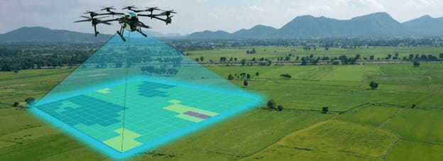
As we delve deeper, we’ll meet the remarkable individuals harnessing GIS to revolutionize the world. Stay tuned for the next edition in this exciting exploration!