
Skip to content
Afrospatial — Mapping the World, Connecting Perspectives
ArticlesNewsMagazinePartnershipsAdvertiseAbout
  • 3D & Digital Twins
  • Agriculture
  • Careers & Training
  • Climate & Environment
  • Disaster Management
  • Drones & UAV
  • GIS & Mapping
  • GNSS & Surveying
  • GeoAI & Data
  • Industry & Policy
  • Land Administration
  • Public Health
  • Remote Sensing & EO
  • Space & Satellites
  • Urban Planning
Drone Surveys Enhance Great Barrier Reef Monitoring and Conservation
Remote Sensing & EO

Drone Surveys Enhance Great Barrier Reef Monitoring and Conservation

August 27, 2026 Source: Spatial Source

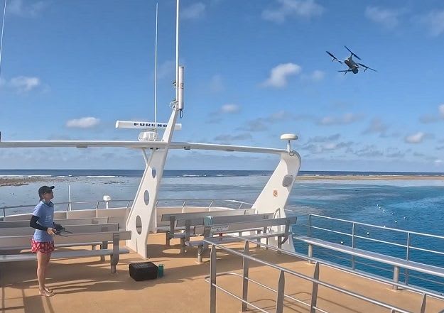
High-resolution aerial surveys using drones are capturing vital spatial data across three Great Barrier Reef sites. This initiative supports long-term monitoring, research, and conservation efforts, assessing impacts from climate change and other disturbances.

Read the full story at Spatial Source →

← Back to News
AfrospatialMapping the World, Connecting Perspectives.

Read

  • Articles
  • News
  • African news
  • Magazine
  • Events

Company

  • About
  • Editorial standards
  • Write for us
  • Advertise
  • Partnerships
  • Contact

© 2026 Afrospatial Publishing.

PrivacyTerms