
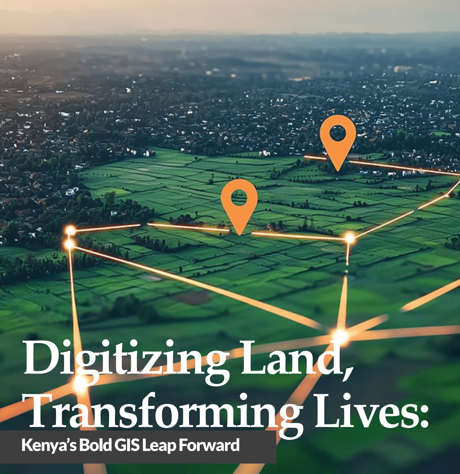
Digitizing Land, Transforming Lives: Kenya's Bold GIS Leap Forward
In a major step toward modernizing land governance and enabling sustainable development, Kenya has officially launched a nationwide GIS initiative aimed at reshaping how land is managed, accessed, and utilized. Spearheaded by the Ministry of Lands and Physical Planning, in collaboration with the Food and Agriculture Organization (FAO) of the United Nations and the European Union, the project marks a historic milestone in Kenya's digital transformation, one that could ripple across multiple counties and sectors.
At the heart of the initiative is a shift from paper-based land records and fragmented data systems toward centralized, digital, and GIS-powered platforms. The rollout began with a landmark event on October 31, 2024, where GIS equipment, implementation guidelines, and training manuals were officially handed over to key national and county institutions, including the Council of Governors and the National Land Commission (NLC).
"This expanded access to GIS resources will not only strengthen each county's ability to manage land governance effectively but also contribute to a unified approach to planning and informed decision-making," said Mary Mwiti, CEO of the Council of Governors
Beyond Maps: GIS as a Governance Engine
Geographic Information Systems (GIS) are often misunderstood as tools for just creating maps. But as this project demonstrates, GIS is becoming central to policy-making, infrastructure development, environmental protection, and public service delivery.
Counties are now expected, as per the County Government Act (2012), to establish GIS-based database systems and integrate them into their spatial planning strategies. This national GIS framework, underpinned by new hardware and training support, will connect counties through a proposed Open County Data Portal, enabling real-time data sharing across government layers.
From mapping health facilities in Vihiga to identifying land use trends in urban centers, GIS is increasingly being used to analyze spatial data, inform decisions, and enhance transparency in land management.
"As a nation heavily dependent on natural resources, land is a fundamental asset for economic growth," said FAO's Charles Babay. "By ensuring equitable access and secure tenure, we can enhance livelihoods, promote sustainable development, and contribute to peace and stability."
Recognizing that technology is only as effective as the people who use it, the initiative includes comprehensive training for GIS professionals at the county level. Manuals and guidelines focus on establishing GIS directorates, recruiting qualified staff, and building long-term technical capacity.
Counties are encouraged to use the newly distributed GIS equipment and manuals to:
- Develop GIS-based spatial plans
- Create interactive land databases
- Improve service delivery through geospatial analysis
This hands-on capacity building is designed to promote county-level autonomy, while also ensuring interoperability with national land systems and compliance with spatial planning mandates.
A Vision Aligned with National Development Goals
This GIS modernization drive is deeply aligned with Kenya's Vision 2030, which prioritizes sustainable land use, digital innovation, and inclusive economic growth. By integrating spatial intelligence into land governance, the initiative contributes directly to several Sustainable Development Goals (SDGs), including:
- SDG 1: No Poverty
- SDG 11: Sustainable Cities and Communities
- SDG 15: Life on Land
Governor Wilber Ottichilo, a longtime champion of GIS in Kenya, emphasized the human impact: "We embark on a mission that holds the promise of transforming not just the digital and physical landscape of our counties but also the lives of millions of people"
Looking Ahead: Scaling the GIS Transformation
While this is still the beginning of a long-term journey, the initiative is already seen as a blueprint for smart governance in Africa. The involvement of multiple stakeholders, from national agencies to county governments, ensures that the program remains grounded in both policy and community realities.
There is also growing interest in integrating remote sensing, machine learning, and mobile GIS tools in future phases of the program to enhance data-driven planning even further.
A notable example is Vihiga County, where GIS has already been used to map early childhood centers and track maternal health data, leading to improved outcomes in healthcare delivery. This kind of cross-sectoral application highlights GIS's potential far beyond traditional land management.
Kenya's GIS-powered land governance initiative is more than a digital upgrade, it's a social and economic lever for change. By embedding spatial intelligence into the fabric of governance, Kenya is setting a regional precedent for how data, technology, and inclusive planning can converge to serve people and the planet.
As the project scales and matures, Afrospatial will be tracking its progress, because what's being mapped here isn't just land... it's the future of equitable development.