
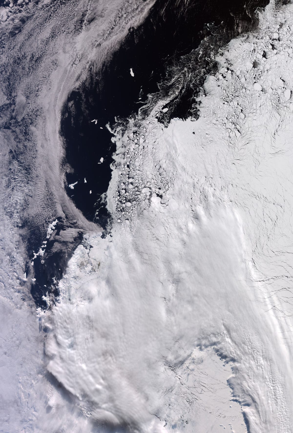
Sentinel-3 image shows Antarctic sea ice near its winter maximum
ESA has released a Copernicus Sentinel-3 image of part of West Antarctica, acquired on 30 September 2026, as the southern hemisphere winter was ending and sea ice was near its annual maximum.
The scene covers roughly 1,200 km by 1,700 km on the edge of the continent, whose main landmass is about 4,500 km across. Ice reaches the tip of the Antarctic Peninsula and covers part of the Weddell Sea to its east. Elephant Island, about 50 km long, stands out against open water on the left, some 930 km from Tierra del Fuego.
Cloud covers much of the lower part of the frame, but the upper right shows varied ice textures: tightly packed ice, floes comparable in size to Elephant Island, and smaller fragments forming swirls. The US National Snow and Ice Data Center says the winter peak most likely came on 14 September 2026.
Why it matters: Sentinel-3 imagery gives a regular, openly licensed view of polar sea ice, supporting climate monitoring and ocean research. Practitioners can use the full-resolution image under open licensing terms.