
GIS & Mapping
Cook Islands Adopts United Nations Geospatial Information Framework
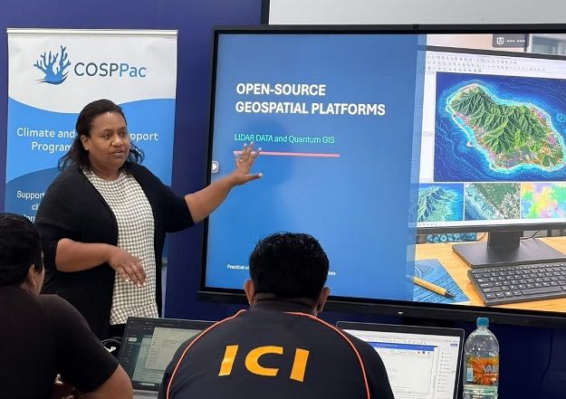
The Cook Islands has adopted the UN-IGIF to strengthen national geospatial information management, aiming to improve decision-making for infrastructure, climate resilience, and ocean governance. This initiative involves developing a National Geospatial Action Plan based on five key priority areas.