
GIS & Mapping
Colombian government launches GIS tools for land expansion in indigenous communities
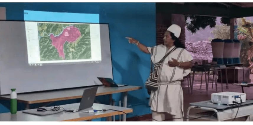
In northern Colombia, indigenous communities are mapping their boundaries and sacred sites with the help of GIS tools. This project is supported by the Dutch Kadaster to help empower indigenous communities and facilitate land administration. This will also help indigenous communities to claim and protect their ancestral lands.