
GeoAI & Data
Closing the Loop: GeoAI from Scan to Decision for Accelerated Spatial Analysis
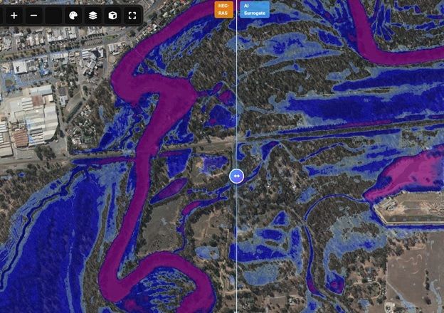
CSDILA researchers have developed an AI process that integrates vision models, language agents, and learned surrogates to automate and accelerate complex geospatial analysis. This innovative approach aims to transform real-world spatial assignments, from asset identification to flood simulations…