
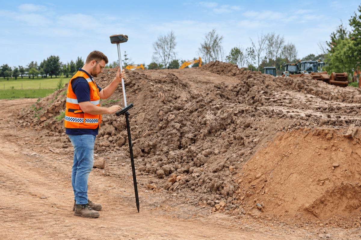
CHCNAV ViLi i100 receiver pairs GNSS RTK with LiDAR for obstructed sites
CHC Navigation (CHCNAV) released the ViLi i100, a Visual-LiDAR GNSS RTK receiver, in a Shanghai announcement dated 23 September 2025. The device fuses GNSS, LiDAR, IMU and camera data to keep centimetre-level positioning where satellite signals are blocked or reflected.
Its SFix 2.0 engine uses laser data at 860,000 points per second and SLAM algorithms to hold 5 cm accuracy within a 20 m radius when GNSS is unavailable, for example in tunnels, under viaducts or in dense forest. Multipath-affected satellite signals are filtered automatically.
With Vi-LiDAR, a user captures a scene once and picks several target points afterwards; an 8 MP telephoto camera gives 5 cm accuracy at 15 m. Combined with LandStar software, the receiver calculates cut-and-fill volumes on site without touching the terrain.
Why it matters: Surveyors working under canopy, in dense urban areas or on construction sites could keep one instrument for positioning, contactless measurement and earthwork volumes. That may reduce equipment changes and time on hazardous ground, though performance claims come from the manufacturer.