
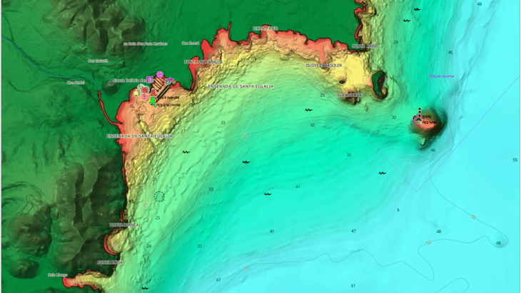
C-MAP expands bathymetry and shaded relief coverage across Australia
C-MAP, the digital marine cartography brand, has announced a coverage update for Australia affecting its Discover, Reveal and Reveal X charts. The update adds high-resolution bathymetry and shaded relief for coastal and inland waters.
Coastal additions include Western Australia (Pasley Islands, Lindas Reef, Breton Reef, Champion Bay, Wallabi Group), Queensland (Long Reef, Hannah Bank, Basilisk Passage and others) and Newfold Bay in Victoria. Twelve inland lakes and inlets in Victoria, New South Wales and Queensland are also covered, including Lake Oberon and Lake Windamere. Reveal and Reveal X coverage is now available for New Caledonia, and five marine parks off Otago, New Zealand, have been added.
Shaded relief and satellite imagery are exclusive to Reveal and Reveal X, and work on Lowrance, Simrad and B&G chartplotters. New buyers and customers who bought a chart within the past year with an active subscription can access the update.
Why it matters: The update shows how consumer chart producers are extending survey-derived bathymetry into inland lakes and remote reefs. It is a product release for the Australia and Oceania market, with no direct African application.