
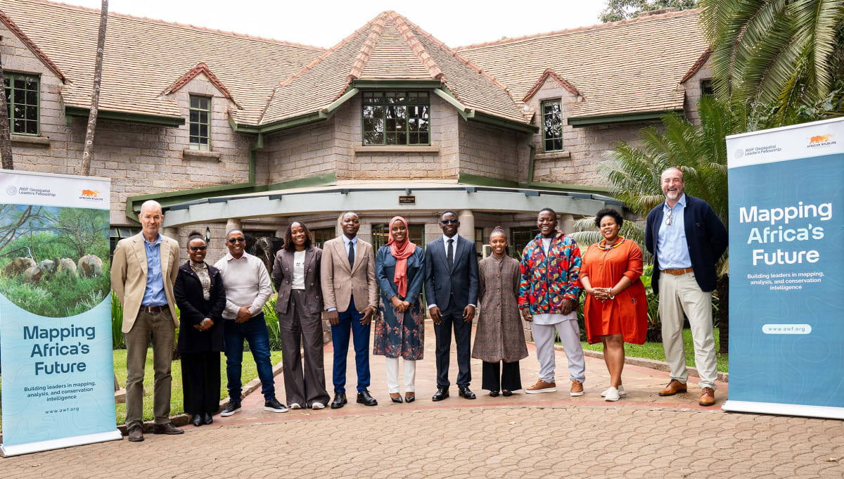
AWF fellows turn GIS into wildfire forecasts and wetland dashboards in Senegal and Uganda
The African Wildlife Foundation (AWF) marked GIS Day 2026 by profiling two members of the first cohort of its Geospatial Leaders Fellowship. The fellowship is a 10-month programme that combines technical training, leadership development, mentorship and practical capstone projects for young African professionals.
Lissong Diop, a geospatial researcher at Senegal's Centre de Suivi Écologique (CSE) who is also pursuing a PhD in remote sensing, built a capstone project called Where Fire Meets Wildlife. It uses CSE wildfire records from 2010 to 2025 and satellite-derived environmental data to model fire susceptibility over a 15-day forecast window. Biodiversity data from Map of Life and the IUCN show which species may be at risk. Results are presented in an interactive StoryMap focused on Niokolo Koba National Park, to help patrol teams and park managers prioritise prevention. CSE colleagues are exploring how the tool could complement the organisation's existing wildfire monitoring. Separately, she was named Senegal's youth envoy for the UN Water Conference in Abu Dhabi in December 2026.
Julius Ivan, a Senior Environment Officer at Uganda's National Environment Management Authority (NEMA), used satellite imagery and spatial analysis to build an ArcGIS dashboard of wetlands in southwestern Uganda, classed as intact, degraded or seasonal. He also developed a mobile field-inspection tool that feeds a central system, so officers can track inspected sites, flag compliance concerns and plan follow-up.
Why it matters: The projects show early-career African GIS and remote-sensing staff in national agencies building operational tools for fire and wetland management. Structured fellowships that pair technical skills with communication and leadership offer a route for professionals to move analysis into institutional decisions.
Sources: African Wildlife Foundation