
Skip to content
Afrospatial — Mapping the World, Connecting Perspectives
ArticlesNewsMagazinePartnershipsAdvertiseAbout
  • 3D & Digital Twins
  • Agriculture
  • Careers & Training
  • Climate & Environment
  • Disaster Management
  • Drones & UAV
  • GIS & Mapping
  • GNSS & Surveying
  • GeoAI & Data
  • Industry & Policy
  • Land Administration
  • Public Health
  • Remote Sensing & EO
  • Space & Satellites
  • Urban Planning
Australia and Philippines Conduct Joint Defence Geospatial Training
GNSS & Surveying

Australia and Philippines Conduct Joint Defence Geospatial Training

July 8, 2026 Source: Spatial Source

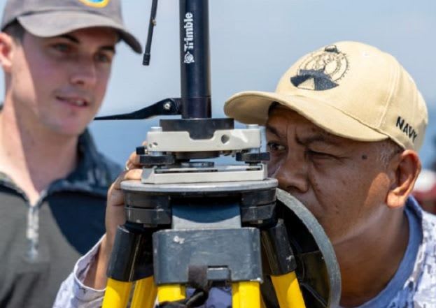
Geospatial specialists from the Royal Australian Navy and the Philippine Navy participated in Exercise Lumbas, strengthening maritime cooperation and interoperability. The training focused on hydrographic surveys, rapid beach survey techniques, and underwater search.

Read the full story at Spatial Source →

← Back to News
AfrospatialMapping the World, Connecting Perspectives.

Read

  • Articles
  • News
  • African news
  • Magazine
  • Events

Company

  • About
  • Editorial standards
  • Write for us
  • Advertise
  • Partnerships
  • Contact

© 2026 Afrospatial Publishing.

PrivacyTerms