
ArcGIS Online adds time series, charts and Parquet export to beta Parquet layers
Esri has released a November 2026 update to Parquet feature layers in ArcGIS Online, which have been in beta since June 2026. The layers are read-only and designed for large datasets loaded through ArcGIS Data Pipelines, then used in maps and apps.
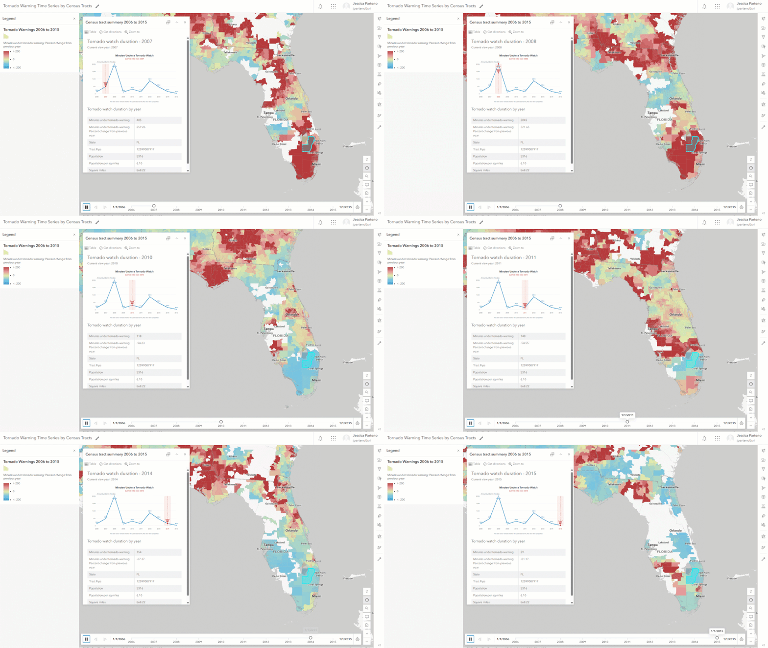
The update supports Parquet date and time types and schemas beyond the 1,024-field limit of standard feature services. In Map Viewer it adds time series, charts (bar, line, pie, histogram), relative time filters and a refresh interval from 6 seconds to 24 hours. Layer configurations, including symbology, filters and pop-ups, can be saved and reused across maps, and new Data and Visualization tabs appear on the item page.
Parquet layers now work as reference layers in several Instant Apps templates, in ArcGIS Dashboards and in Experience Builder, which is limited to map functions. ArcGIS Hub support is planned for the first release of 2027. A separate new export option, Parquet collection, packages hosted feature layers and tables as zipped Parquet files with Snappy compression for data lake workflows.
Limitations remain. There is no offline use, data is stored only in WGS 1984, the layers cannot feed Map Viewer analysis tools, and they can be created only through Data Pipelines. Esri's demonstration combined more than 100 million FEMA building records with flood zones.
Why it matters: Large national datasets such as building footprints or cadastral extracts can be shared in ArcGIS Online without being split up, and the Parquet export eases hand-off to cloud analytics. The beta limits, including no offline use and WGS 84 only, restrict production and field use for now.
Sources: Esri ArcGIS Blog