
Skip to content
Afrospatial — Mapping the World, Connecting Perspectives
ArticlesNewsMagazinePartnershipsAdvertiseAbout
  • 3D & Digital Twins
  • Agriculture
  • Careers & Training
  • Climate & Environment
  • Disaster Management
  • Drones & UAV
  • GIS & Mapping
  • GNSS & Surveying
  • GeoAI & Data
  • Industry & Policy
  • Land Administration
  • Public Health
  • Remote Sensing & EO
  • Space & Satellites
  • Urban Planning
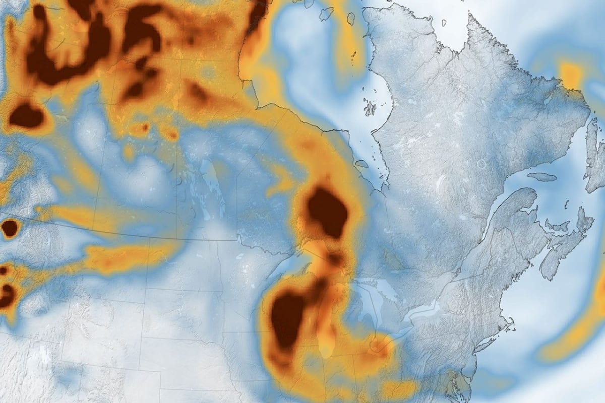
A Week of Smoky Skies Across North America
Remote Sensing & EO

A Week of Smoky Skies Across North America

July 22, 2026 Source: NASA Science

Canadian wildfires in July 2026 caused widespread smoke plumes and hazardous air quality across North America. NASA's GEOS model, integrating satellite and ground data, tracked brown carbon emissions, highlighting the impact on public health and the environment.

Read the full story at NASA Science →

← Back to News
AfrospatialMapping the World, Connecting Perspectives.

Read

  • Articles
  • News
  • African news
  • Magazine
  • Events

Company

  • About
  • Editorial standards
  • Write for us
  • Advertise
  • Partnerships
  • Contact

© 2026 Afrospatial Publishing.

PrivacyTerms