
Maiden International Geospatial and Geoinformatics Conference
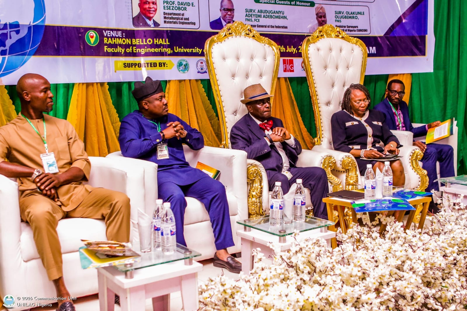
The University of Lagos (UNILAG) hosted its first International Conference on Geospatial Science and Geoinformatics, bringing together experts, academics, policymakers, and industry stakeholders. The three-day conference, themed “Emerging Frontiers in Geospatial Science, Technology, and Sustainable Development,” aimed to examine the role of geospatial technologies in driving sustainable development and effective mineral resource management.
Declaring the conference open, the Vice Chancellor, Professor Folasade Tolulope Ogunsola, underscored the strategic importance of geospatial science in driving Nigeria’s economic diversification by exploring and sustainably managing the country’s vast solid mineral resources. Keynote speaker Professor David Esezobor emphasized that lasting progress depends on the convergence of spatial intelligence, human expertise, and responsible governance. He identified major challenges confronting the geospatial sector, including inadequate data infrastructure, high technology costs, limited access to advanced digital tools, and weak institutional collaboration. To address these, he proposed strategic investments in geospatial education, stronger partnerships among academia, government, and industry; improved institutional collaboration, wider adoption of open-data policies, and increased support for indigenous technological innovation.
The conference highlighted that the future of geospatial science extends beyond data collection to generating actionable intelligence for decision-making, utilizing emerging technologies such as GeoAI, digital twins, and advanced spatial analytics for planning resilient cities, managing natural resources, monitoring environmental changes, and improving national development outcomes. The event also featured a special address by Professor Peter Okebukola, reflecting on Nigeria’s investment in space science.
Participants engaged in technical sessions, paper presentations, and industry interactions. The conference was expected to strengthen collaboration among academia, government, and industry while highlighting the growing role of geospatial science in mineral exploration, environmental management, urban planning, disaster risk reduction, agriculture, and sustainable development.