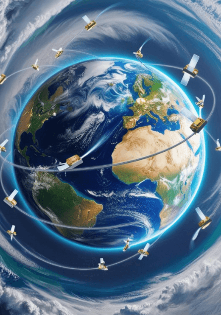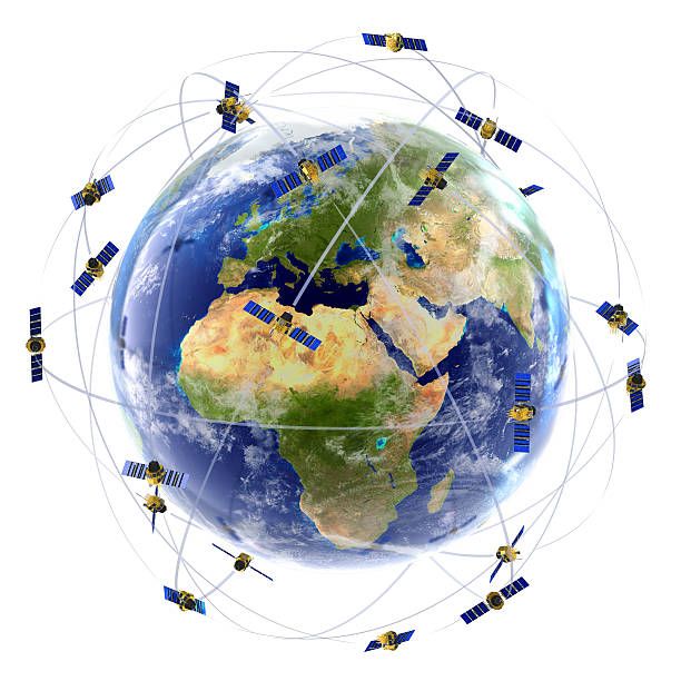
Global Navigation Satellite Systems (GNSS) are quietly powering Africa’s geospatial transformation. The rise of multi-GNSS approaches, integrating America’s GPS, Europe’s Galileo, China’s BeiDou, and Russia’s GLONASS, is significantly enhancing positioning accuracy, reliability, and signal availability across the continent. Multi-GNSS is also improving resilience by reducing dependence on any single satellite constellation. Combined with modern multi-frequency receivers and correction techniques such as Real-Time Kinematic (RTK) and Precise Point Positioning (PPP), users can now achieve sub-meter to centimetre-level accuracy, with national geodetic agencies and private operators rapidly expanding high-precision positioning infrastructure.
South Africa:
South Africa’s long-established TrigNet network remains one of the most robust and extensive CORS (Continuously Operating Reference Stations) systems in Africa. Launched in the late 1990s, TrigNet has been vital for high-precision surveying, agriculture, mining, and mapping across South Africa, with a network of over 55 reference stations. The base stations are all managed by a single control centre, located at the National Geospatial Information (NGI) offices. The network’s density is particularly strong in provinces such as the Western Cape, Gauteng, and the Northern Cape mining belt, with fewer in remote areas such as Limpopo.
Ghana:
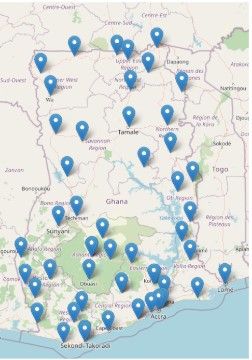
Ghana’s Nationwide CORS Network has revolutionised surveying and interoperability, making it one of West Africa’s most significant geodetic systems. The initiative is a public-private partnership involving GMX Systems Ltd, the Licensed Surveyors Association of Ghana (LiSAG), Ghana Water Company Limited, and the Land Commission’s Survey and Mapping Division. Since its operation in 2021, the network has expanded to more than 40 active stations covering most of the country, supporting GIS infrastructure for land management and administration.
Kenya:
Kenya has significantly expanded its CORS infrastructure through collaborations involving the Survey of Kenya and the private sector. The Muya CORS, operated by Measurement Systems Ltd and comprising over 25 stations, provides Real-Time Kinematic (RTK) solutions throughout the country, essential for surveying applications such as geodetic network densification, cadastral mapping, transport infrastructure development, and engineering surveys. Kenya Power and Lighting Company (KPLC) CORS Services also has 15 stations, supporting surveys, engineering, earth deformation monitoring, and fleet management.
Rwanda:
The Rwanda Geodetic Network (RGN) CORS is a collaboration between the government, academic, and private sectors. It comprises about 10 sites that provide GNSS data to support 3D positioning, geophysical applications, and meteorology in Rwanda and neighbouring countries. Participating agencies independently operate the stations and share GNSS data through the RGN platform for public access. The network is maintained by the Rwanda Land Management and Use Authority (RLMUA).
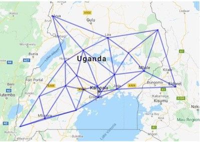
Other African countries with robust CORS Networks include Algeria, with the Réseau Géodésique Algérien de Terre (REGAT); Nigeria, which operates the Nigerian GNSS Reference Network (NINGET); Botswana, through the BotswanaNet real-time geodetic network that operates more than 55 CORS stations distributed across the country; and Uganda, which has developed a comprehensive network covering the mainland.
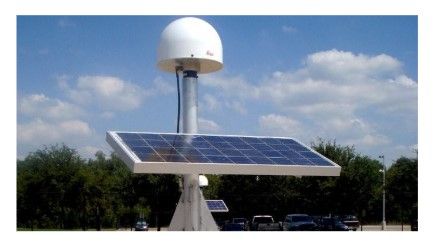
The CORS infrastructure is making a tangible difference in Africa’s development. It eliminates the need for local base stations for RTK, reduces the capital required for high-accuracy GNSS positioning, eases field logistics, saves time in base setup, and reduces security risks. The emergence of low-cost multi-frequency GNSS receivers and internet-based NTRIP correction services is also democratising access to high-accuracy positioning. Tasks that once required expensive geodetic equipment are increasingly becoming accessible to smaller surveying firms, drone operators, and infrastructure startups across Africa.
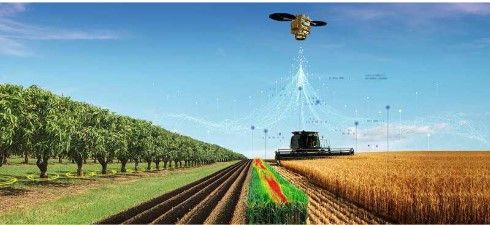
In precision agriculture, farmers across countries such as Kenya and Zambia are using GNSS-guided equipment to apply seeds, fertiliser, and water more efficiently. In land administration, high-accuracy positioning supports large-scale titling and registration programmes. Logistics companies and delivery platforms are optimising routes and reducing costs, while urban planners are using improved data to develop smarter infrastructure.
Challenges
Significant challenges in implementing CORS networks remain. CORS coverage is still concentrated in urban and commercial areas, leaving many rural regions underserved. Signal interference, limited local technical expertise, and dependence on external satellite constellations continue to constrain the full potential. Setting up and maintaining a CORS network is also an expensive endeavour, while some countries face internet connectivity limitations and power instabilities.
The vision for sustainable and continent-wide positioning systems is becoming clearer. This includes developing regional augmentation services and deeper integration between GNSS and emerging technologies such as 5G and AI. It also involves interoperability and data sharing to facilitate a more connected African geospatial ecosystem, such as an up-to-date CORS map of Africa’s active stations. As Africa accelerates its digital and spatial transformation, resilient CORS infrastructure will shape the invisible backbone of a more accurate and impactful future for the continent.