In 2023 alone, severe flooding displaced over 1.5 million people in sub-Saharan Africa. Many of these victims lived in informal settlements, built unknowingly or unavoidably within flood-prone areas. As climate change accelerates, urban areas face a growing threat: flash floods, overwhelmed drainage systems, and unplanned sprawl that puts millions at risk. But what if we could see the danger zones before disaster strikes?
The Urban Flooding Crisis
Flooding in urban areas is no longer rare. Climate change is intensifying rainfall, while rapid urbanization often poorly managed is creating cities with fragile infrastructure and inadequate drainage systems. Combine this with the expansion of informal housing into wetlands and riverbanks, and the result is predictable: destruction, displacement, and deepening poverty.
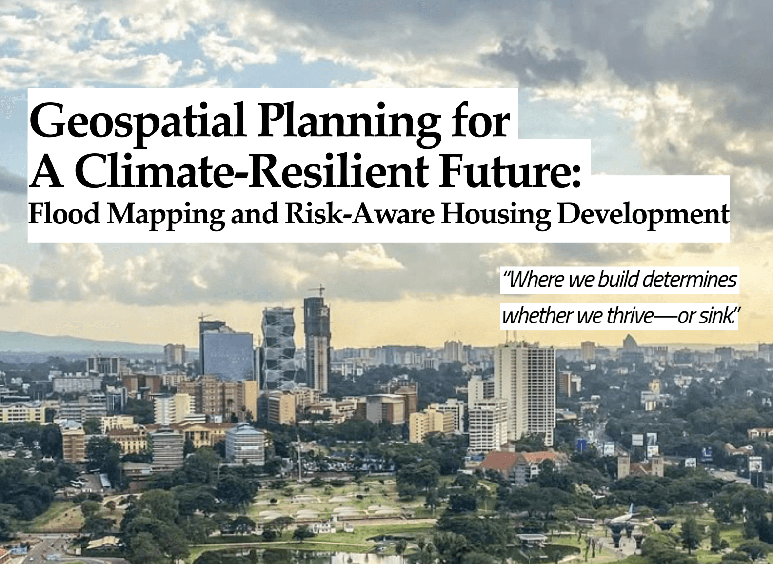
Cities like Nairobi, Lagos, Dar es Salaam, & Kinshasa have witnessed devastating floods in recent years. Often, the worst-hit neighborhoods are those without formal, modernized land-use plans built in risky zones simply because that's where land was available or affordable.
The Power of Geospatial Planning
Geospatial technologies offer a lifeline. With tools like Geographic Information Systems (GIS), remote sensing, and elevation modeling, planners and geospatial engineers can map flood-prone areas with precision. They can analyze rainfall patterns, simulate water flow, assess soil absorption, and predict which zones are vulnerable.
- GIS layers multiple datasets—topography, land cover, infrastructure, weather patterns—to help planners understand how water moves through a city.
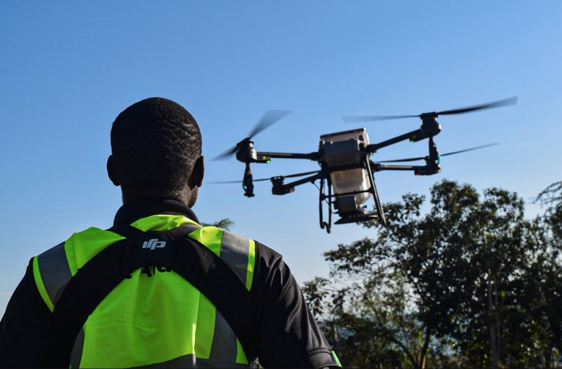
- Remote sensing (from satellites or drones) provides up-to-date imagery of changing landscapes, including urban expansion, deforestation, and waterlogged zones.
- LiDAR technology offers high-resolution elevation data critical for understanding water accumulation and flow.
This data-driven insight is what transforms reactive cities into resilient ones.
Risk-Aware Housing: Planning With the Future in Mind
Flood mapping doesn't just help governments respond to disasters—it helps them prevent them. By integrating geospatial data into urban planning, authorities can:
- Avoid building new housing developments in floodplains
- Elevate structures in moderate-risk zones
- Protect and restore wetlands that absorb excess water
- Design smarter stormwater drainage systems
- Allocate green spaces that serve as water catchment areas
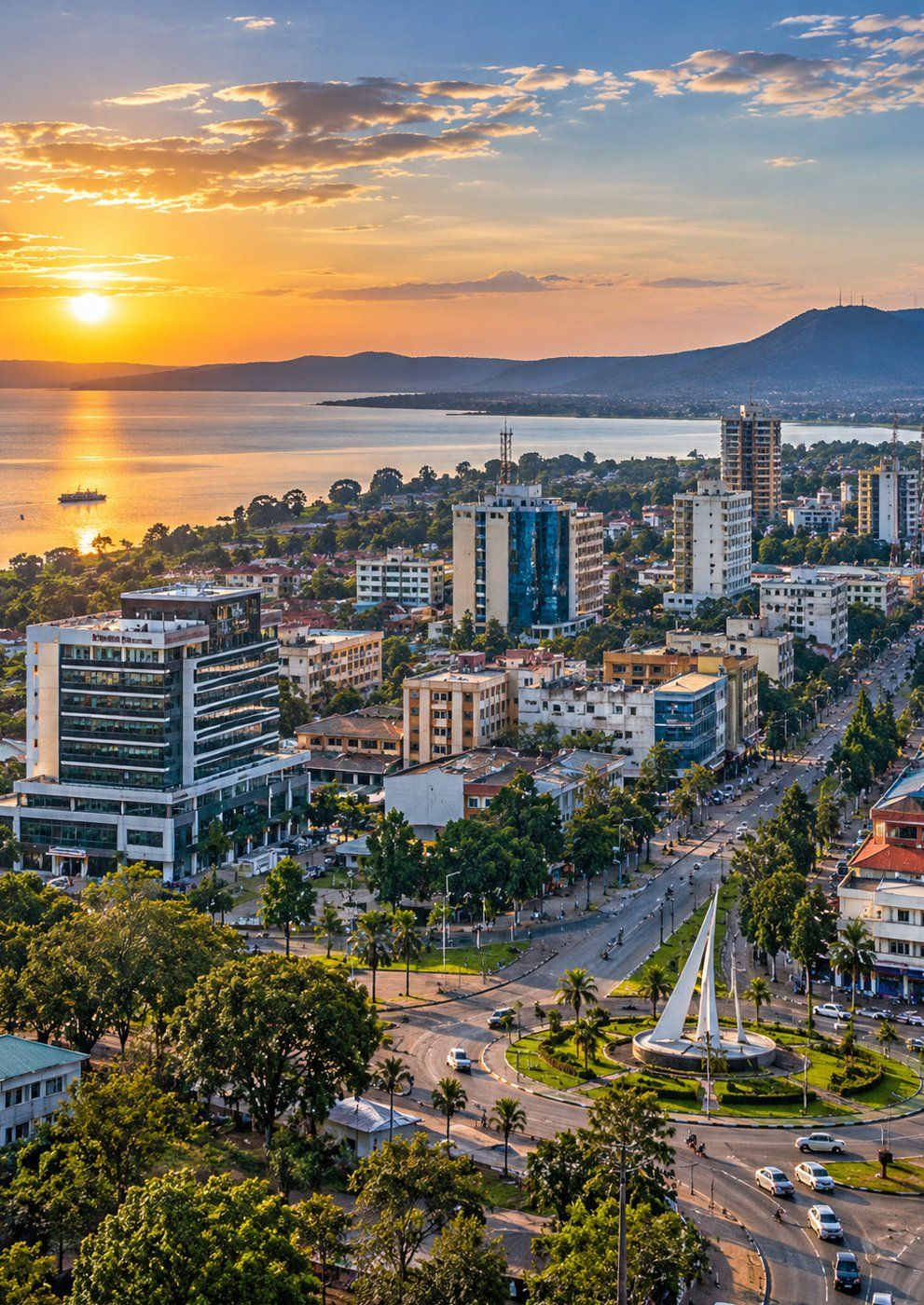
This has successfully been incorporated in Kigali's city master plan, which uses GIS to identify buildable land while avoiding high-risk zones. In the Netherlands, geospatial analysis is central to their globally renowned water management and housing strategies—blending science, policy, and design.
Building a Resilient Future
To harness the full potential of geospatial planning, we need:
- Capacity building through training local planners and engineers in GIS and flood modeling.
- Policy enforcement, where zoning regulations based on risk maps must be implemented.
- Community inclusion; it is important for the residents to understand the risks and be involved in planning their own neighborhoods.
We also need to embrace real-time monitoring, combining satellite data with ground sensors to enable early warning systems and rapid response strategies.
Conclusion: A Smarter, Safer Tomorrow
Urban flooding is not just a climate issue; it's a planning issue. And planning starts with seeing.
With the help of geospatial technology, we can map a safer future where homes are built above the flood line, where cities breathe with green space, and where resilience is rooted in data-driven decisions. The tools are already in our hands. The next step is using them before the next flood washes away the chance.