3D Virtual Tour Insights
These techniques, notably those offered by Matterport cameras such as the Pro2, Axis, and Pro3, have brought an immersive and interactive approach to property marketing, exploration, and analysis. By combining high quality 360-degree views with geographical data, these virtual tours provide consumers with a one-of-a-kind experience that goes well beyond standard real estate listings.
This combination of geographic mapping and virtual tours is transforming not just the way real estate is presented, but also how potential buyers and investors make educated decisions.
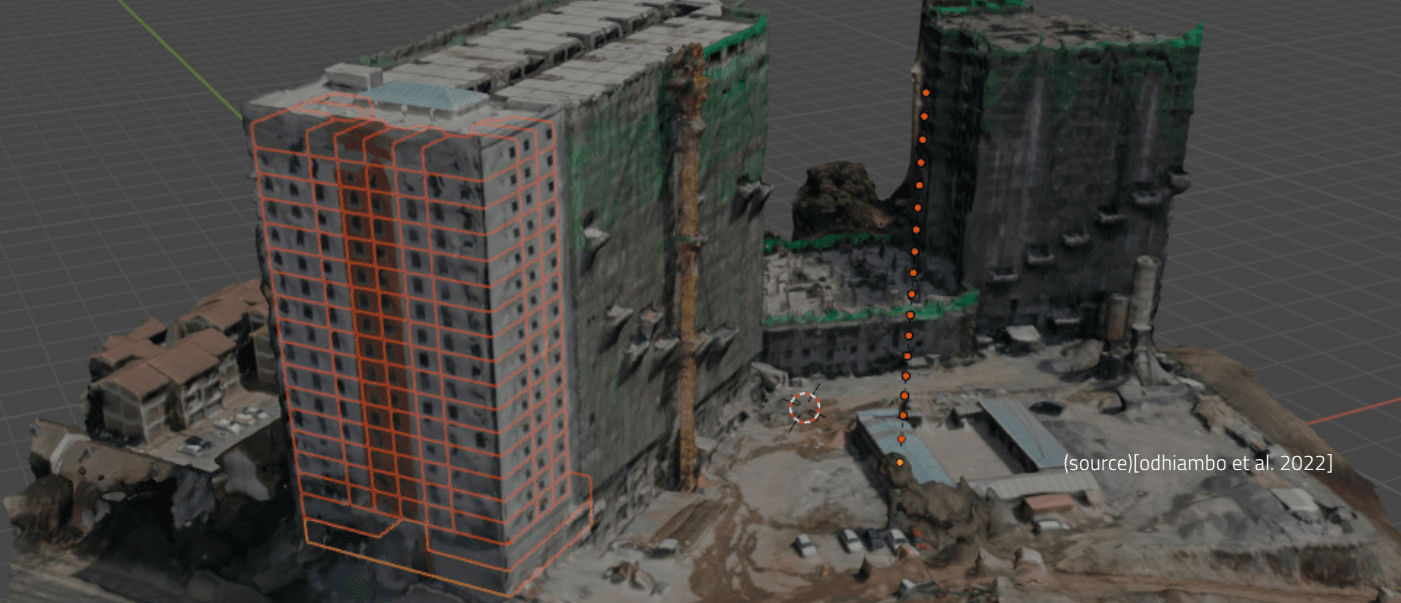
Initially, remote property research appeared to be a simple approach to peruse real estate listings from a distance. However, when integrated with geolocation data, 3D virtual tours have even more potential. These virtual models may accurately depict the real environment using high-resolution images and spatial information such as LiDAR and Geographic Information System (GIS) data. This is especially important in real estate and property management, where knowing the larger geographic context such as proximity to infrastructure, environmental conditions, and zoning regulations is critical for making sound investment decisions.
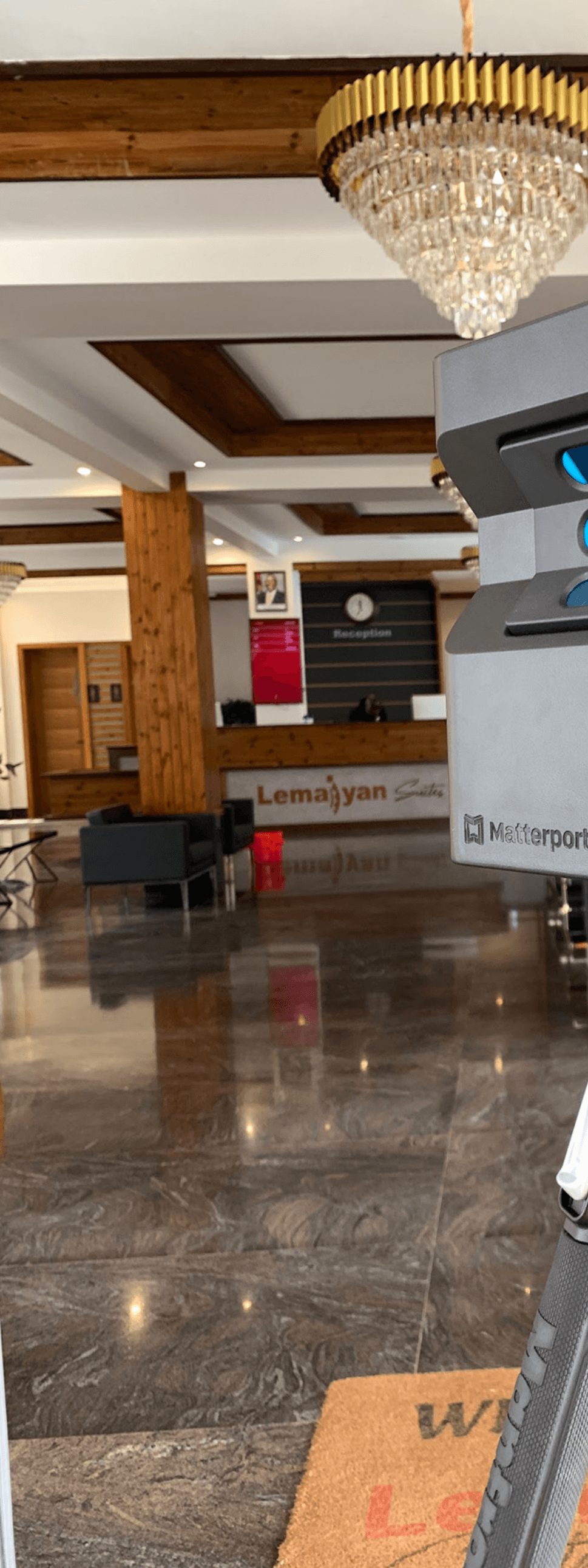
Advances in geospatial mapping and 3D virtual tour technology are propelling the real estate business, as well as other industries dealing with property and land management, through a transformation.
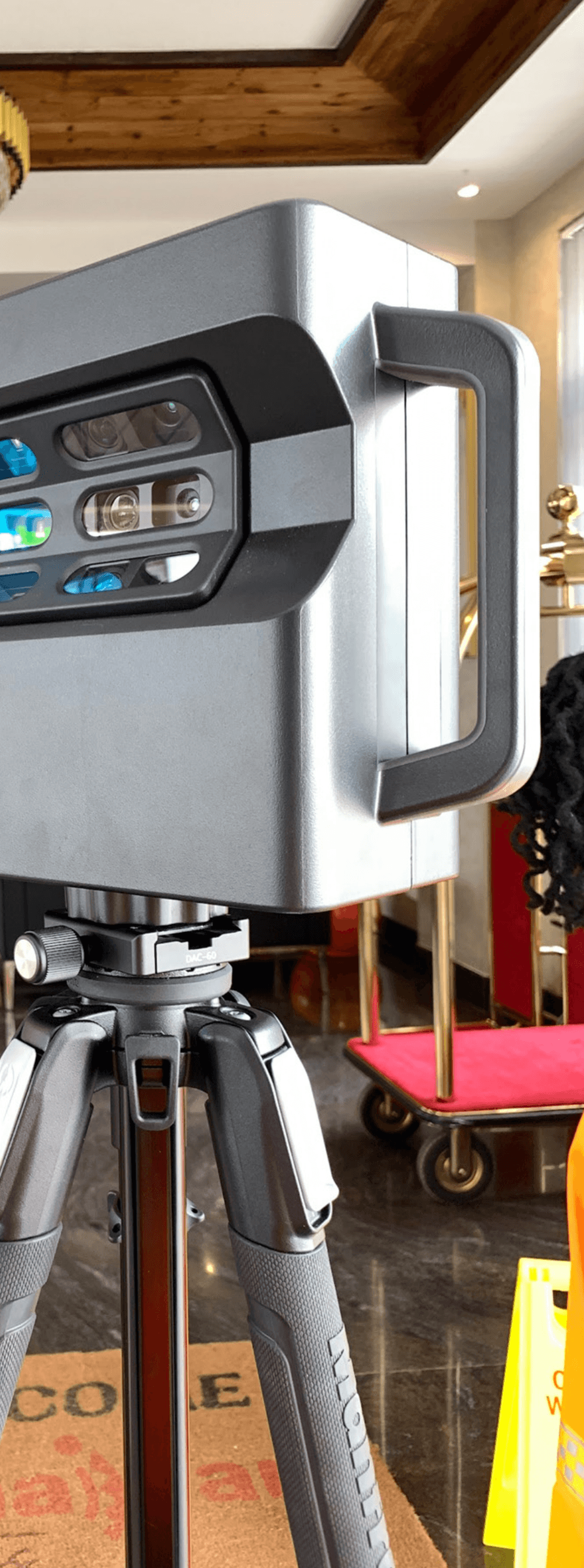
What is a 3D Virtual Tour in Geospatial Mapping?
In the world of real estate, 3D virtual tours are more than just a visual tool for displaying properties. They provide a data-rich, interactive experience that allows users to visually traverse properties and access critical levels of geographical information. Unlike standard 2D photos or floor plans, these tours allow purchasers to navigate a home in real time, analyzing everything from the architectural arrangement to environmental data. By connecting Matterport cameras with GIS systems, every detail of a property is recorded with exceptional clarity, uniting the physical and digital worlds.
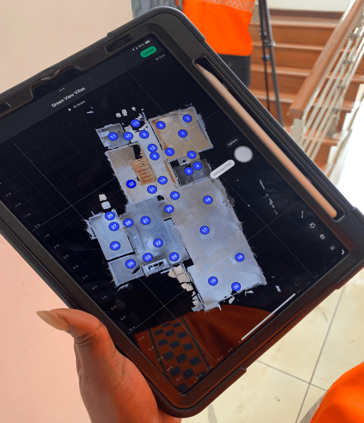
These virtual tours go beyond just displaying a home’s interior. They provide potential purchasers with information on the area, closeness to amenities, and even environmental dangers like flood zones or soil stability. A 3D virtual tour delivers a complete image by including geographical data, allowing viewers to estimate the potential worth and dangers connected with a property. This additional background is especially useful for customers who are unfamiliar with the area or are making long distance purchases.
The benefits of 3D virtual tours for geospatial applications
Enhanced Data Visualisation
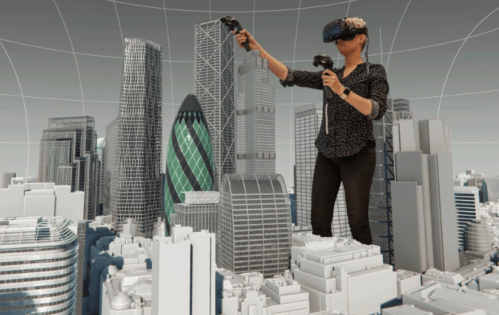
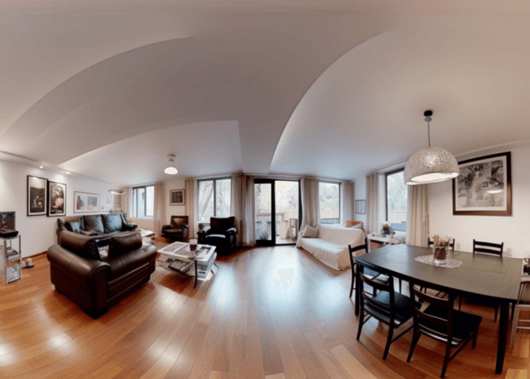
The combination of geospatial mapping and 3D virtual tours dramatically improve property visualization. Buyers and real estate professionals may now experience a house in a completely immersive, three dimensional environment, rather than just flat photographs. This not only offers a better knowledge of the property’s dimensions, but also allows people to visualize how the space flows and works.
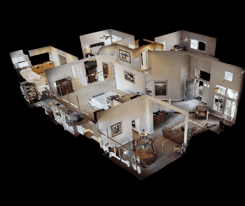
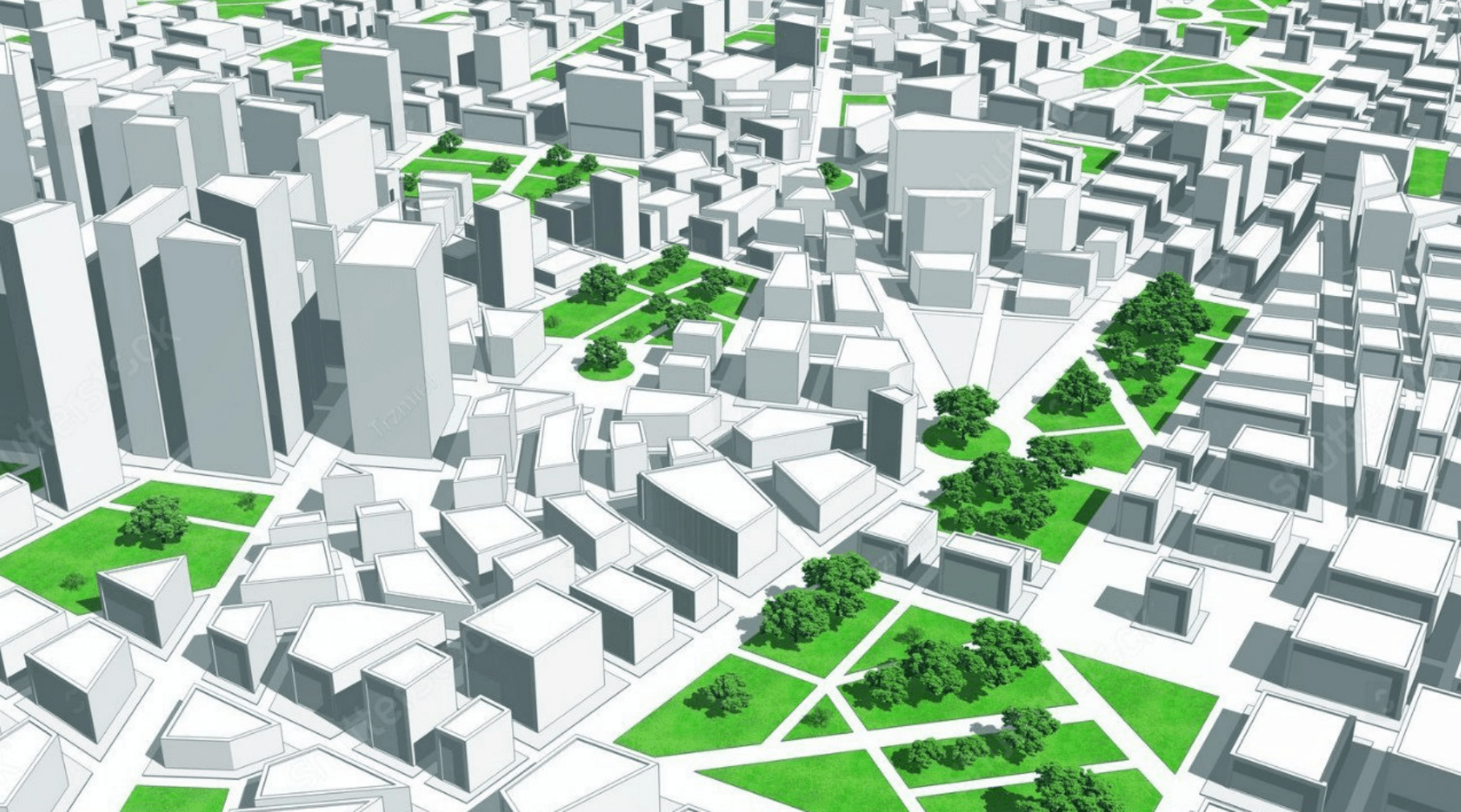
Furthermore, geographical data may be integrated into these virtual tours, providing useful context. GIS overlays, for example, can show the position of a property in relation to schools, public transit, and commercial centers. Topographical data can assist determine whether the property is in a flood-prone location or on uneven ground. This expanded visualization provides purchasers with a thorough grasp of not just the property but also the surrounding surroundings, which is essential for making informed investment decisions.
Real-Time Data Integration
Another significant benefit of merging 3D virtual tours with GIS mapping is the incorporation of real-time data layers. This tool provides property buyers and investors with up-to-date information about local traffic conditions, weather patterns, and neighboring development
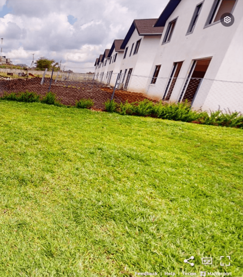
projects that may impact property value or quality of life. For example, a virtual tour of a suburban community may incorporate real-time updates on public transit routes, school zone boundaries, and environmental dangers.
This real time data enhances the virtual tour experience, changing it into an insightful decision making platform. Investors can assess a property’s immediate surroundings and learn about prospective future expansions or infrastructure enhancements. Real-time mapping is especially useful in real estate markets because factors such as urban growth, environmental conditions, and transportation infrastructure may quickly alter the value and appeal of properties.
Precision and Accuracy
In real estate, precision and accuracy are essential for property marketing and assessment. The combination of 3D virtual tours with geospatial technologies such as GIS and LiDAR guarantees that virtual models are not only immersive, but also extremely precise. Because of their precision, these tools are invaluable for appraising big properties, land projects, and commercial spaces where the finer nuances of property borders, zoning restrictions, and environmental conditions must be carefully examined.
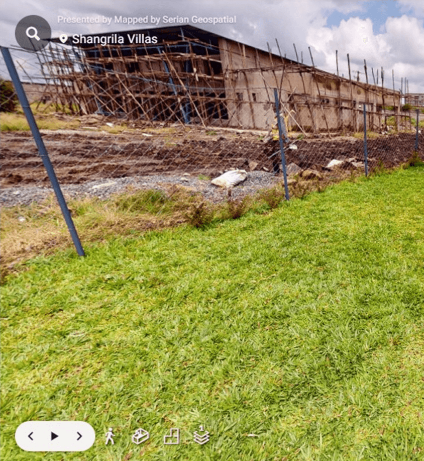
A commercial real estate developer, for example, may utilize a 3D virtual tour to envision a planned shopping center in relation to its surroundings.
By including zoning rules and property boundary data into the virtual tour, the developer may determine if the project meets local standards and how it will affect surrounding companies or traffic flow. This precision is critical for making educated decisions early in the development phase, preventing costly mistakes and regulatory concerns later on.
Practical Use in Urban Planning and Infrastructure
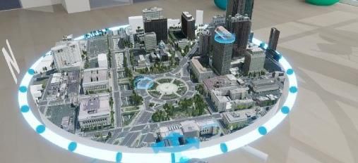
For developers, urban planners, and real estate investors, 3D virtual tours are an effective tool for assessing future projects and managing existing assets. These virtual environments enable stakeholders to see how new projects will interact with existing infrastructure, transit networks, and natural surroundings. By including geographical data, 3D virtual tours may demonstrate how a property or development fits into its larger geographic context, assisting in anticipating future obstacles and possibilities.
For example, in large scale developments such as residential communities or shopping malls, virtual tours might incorporate geographical data layers such as utility lines, traffic patterns, and environmental laws. Stakeholders can test multiple scenarios to evaluate how different elements, such as increased traffic from a new development or environmental concerns, would affect the surrounding neighborhood. This capacity to mimic future situations is extremely useful for reducing risks and increasing the success of real estate ventures.
Geospatial mapping meets immersion
The combination of 3D virtual tours and geospatial mapping is altering how we see and interact with real estate sites. From a geospatial standpoint, these tours provide more than just a thorough look at a property; they also provide a rich geographical context that might impact purchase choices.
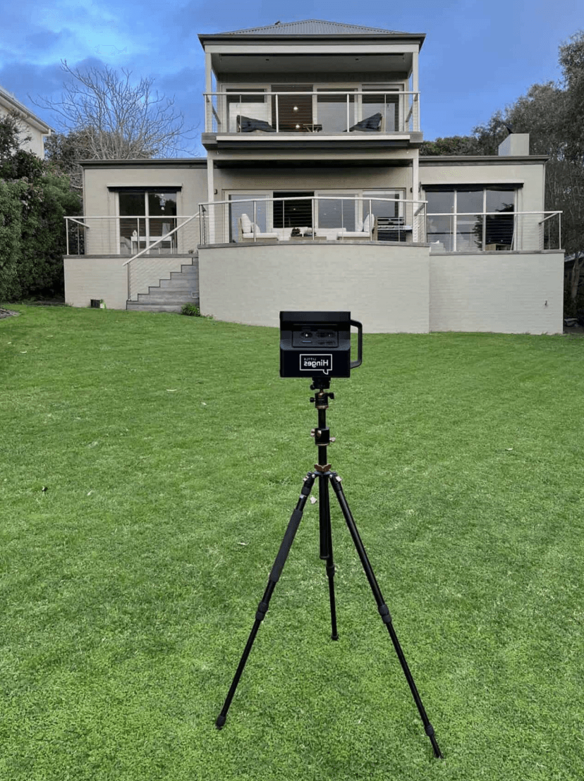
Buyers can research aspects such as proximity to crucial services, neighborhood growth potential, and environmental dangers, all of which are important considerations when buying in real estate.
In addition to offering rich visualizations, the incorporation of geographical layers enables users to investigate a property’s larger context in relation to its surroundings. For example, a 3D tour of a seaside property may include interactive maps of erosion concerns, flood zones, and local natural preserves, providing a more in-depth understanding of the possible problems and rewards of owning the land.
This immersive experience improves user engagement. Prospective buyers may see their prospective home in the context of the surrounding area, assessing everything from walkability to local amenities. For real estate brokers, developers, and investors, the combination of 3D visualization with geographical data provides a more engaging and informative approach to display properties and make data driven choices.
Conclusion
The combination of 3D virtual tours with geospatial mapping is transforming the real estate market and other fields involving land and property management. These technologies provide new methods to interact with and understand properties by improving data visualization, including real time information, and offering precise, immersive experiences. Matterport technology, paired with GIS and LiDAR data, has altered how buyers and investors evaluate property value and make decisions. As these technologies advance, their impact on real estate and property management will only increase. The ability to visually tour a property while obtaining key geographical data in real time gives a holistic picture that benefits both buyers and investors. Whether considering a tiny residential property or a huge commercial complex, 3D virtual tours paired with geospatial mapping are paving the way for better, more informed real estate decisions.