3D Mapping
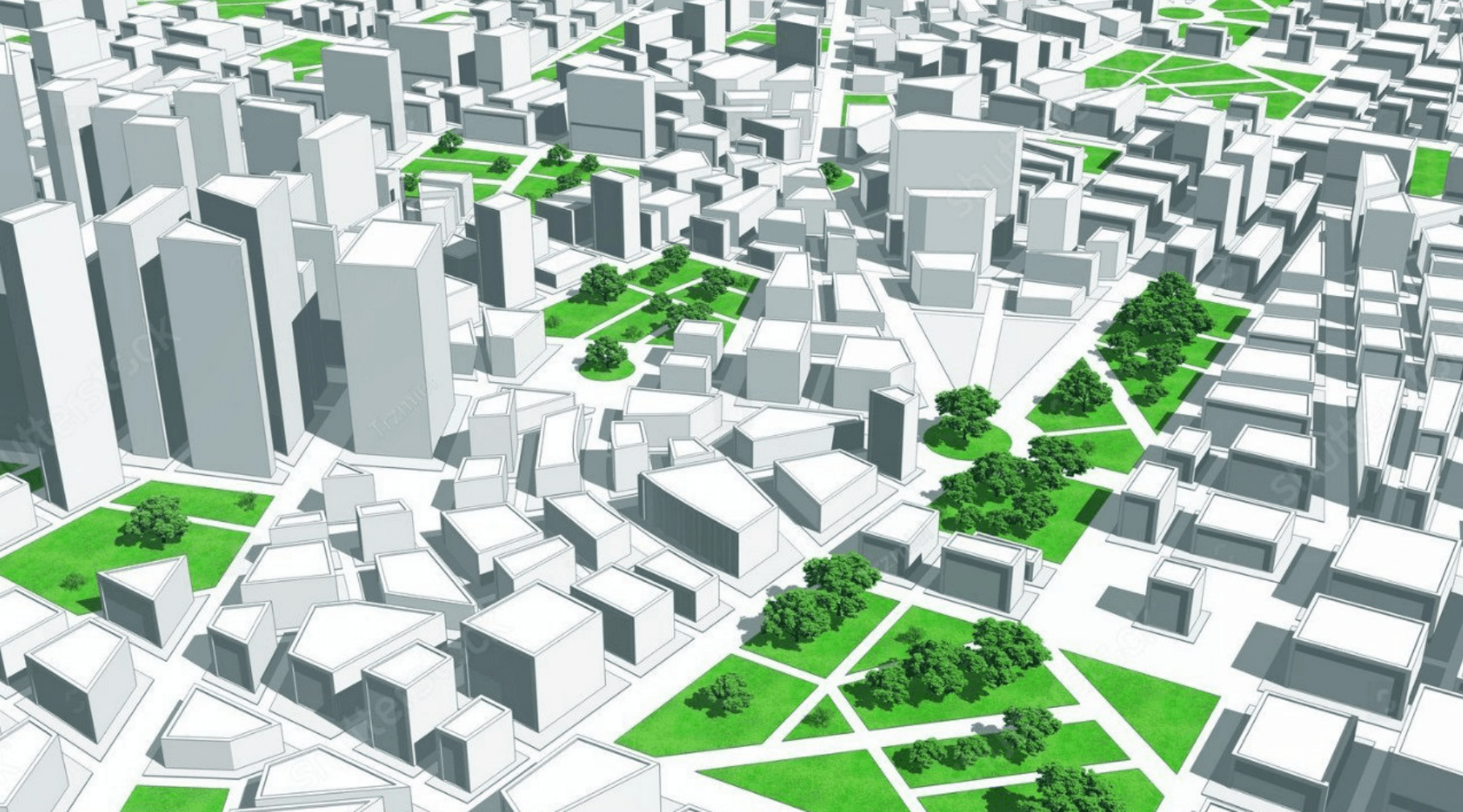
Contemporary Architecture has evolved due to advances in technology over the past decades in both Architecture and the built environment professions, including landscape architecture and urban planning. One of the most influential innovations is 3D mapping, which is a tool that can provide detailed three-dimensional models of spaces, environments, and objects.
It is now a common tool in Design, Planning, and Visualization, which aids Architects, Landscape Architects, and Urban Planners in making better evaluations of various spatial data for enhanced designs, efficiency, and aesthetic value. The use of 3D mapping in the context of architecture, landscape architecture, and urban planning has been discussed in detail in this article, including the possible utilizations, advantages, and future trends of 3D mapping.
In architecture for example, 3D mapping has shown to be a useful tool in coming up with ideas and how the ideas can be implemented. Architects and Designers are not limited to sketching and drawing plans on paper; they employ 3D mapping to model structures and buildings precisely. Using these models, an architect is in a position to analyze the structural form from different dimensions: perceived flaws, strength, and beauty.
Today, through the help of 3D maps, architects can virtually tour the building before the structure is built. They benefit clients by giving them a perspective on the design and letting them visualize spaces to make choices. This avoids confusion and makes sure the client's expectations match the final output produced by the company. Autodesk's Revit and Google Sketch Up are some of the most commonly used applications in the architectural design process to develop elaborate models that mimic real-life conditions.
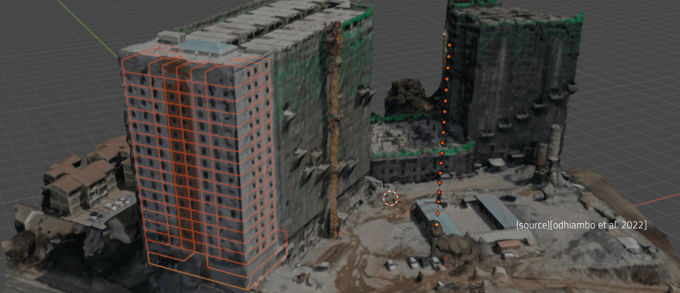
However, 3D mapping is not just used in the visualization of projects but in the physical construction as well. By employing BIM technology, architects and construction teams can design construction plans, organize the construction process, and monitor the construction progress through 3D maps. It refers to the process of capturing spatial and material data, which helps various teams to better coordinate resources and minimize failures in construction.
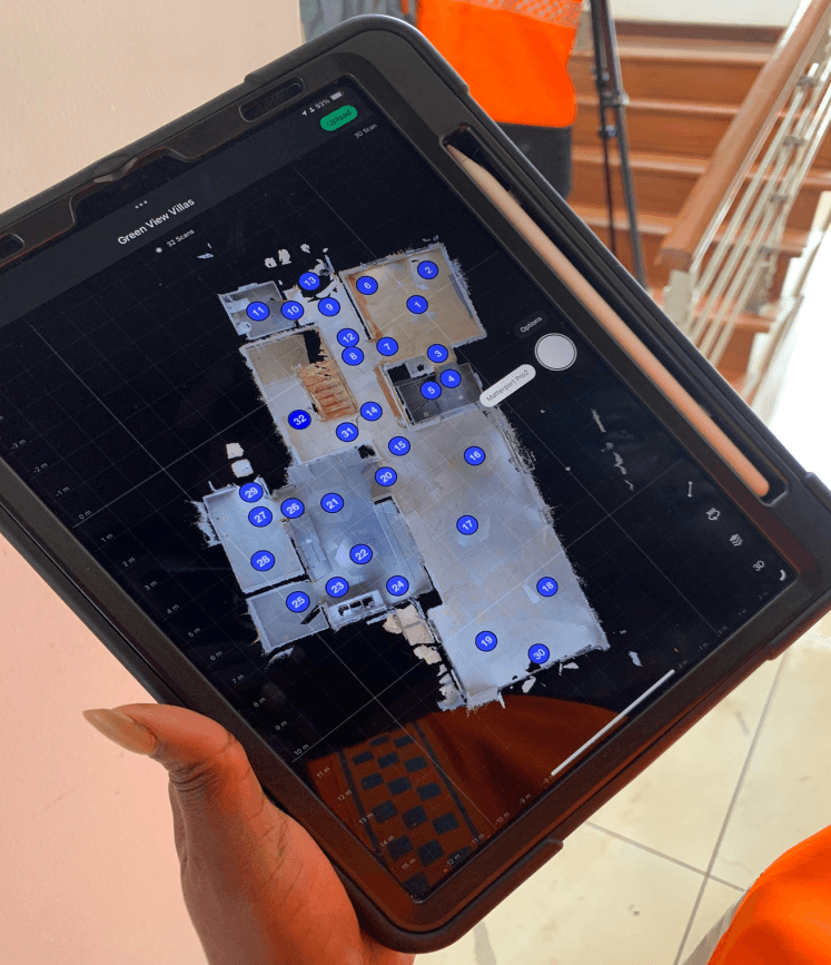
The physical shapes of buildings or existing structures can be brought into digital models using laser scanning and LIDAR technologies.
This is most helpful in new construction, renovations, and additions to existing structures. This is important because the high accuracy of 3D mapping guarantees that new designs fit well into the existing environment.
With the increasing emphasis on sustainability in contemporary architecture, 3D mapping assists architects in designing energy-efficient buildings. Some digital tools can also mimic climatic conditions such as sun exposure to help architects adjust and enhance the natural lighting and air ventilation. These simulations help to make sure that a building uses less energy and in turn, makes a small impact on the environment.
Potentials of 3D Mapping in Landscape Architecture.
3D mapping is a significant aspect of Landscape Architecture mainly because it involves mapping the site to help analyze the terrain, water systems, and vegetation layouts during the design phase. In the past, landscape architects were limited by maps and site plans in understanding the physical features of a site. Nevertheless, 3D mapping offers enhanced and detailed analysis of features like topographical variations, slopes, water flow, and type of soil present in a site.
Techniques like GIS and Photogrammetry are used in Landscape Architecture to design precise topographical maps. Such maps therefore enable landscape architects to come up with land designs that correlate with the existing land features, thus ensuring that new developments are both compatible with the land rather than being invasive.
The primary role of landscape architecture among other objectives is to design a pleasing and useful outdoor environment. Landscape Architects are frequently able to create these spaces in any weather and different seasons and years down the line as plants grow about the area using 3D mapping.
This forward-looking approach means that designs remain visually appealing and sustainable for many years. For instance, a professional designing an urban park and public garden can model it in 3D and easily try out different plant locations, paved areas, or water bodies.
Due to the possibility of manipulation, the created 3D maps allow landscape architects to think through multiple choices and assign the best possible configurations that will help to make the use of space more effective and eco-friendly.
The theme of sustainability is very much relevant to the profession of landscape architecture and 3D mapping is crucial in reducing harm to the ecology. In consequence, landscape architects can employ LIDAR and drone-based technologies to map ecosystems and simulate how new designs will affect habitats, water systems, and vegetation in the area.
The information provided thus assists the different professionals in planning and forecasting erosion control, storm water management, and preservation of the habitats. For instance, with 3D maps, sustainable green infrastructure strategies that include bio swales, rain gardens, and green roofs can be developed efficiently. These designs assist in addressing issues such as storm water runoff and heat island effect, thereby enhancing the sustainability of cities.
Potentials of 3D Mapping in Urban Design.
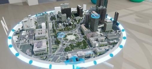
The potential of 3D mapping in urban planning focuses on the arrangements and control of the human settlement and development of space and resources in towns and cities. 3D mapping is crucial for contemporary planning as it helps to design city layouts and assess the effects of new constructions on urban environments.
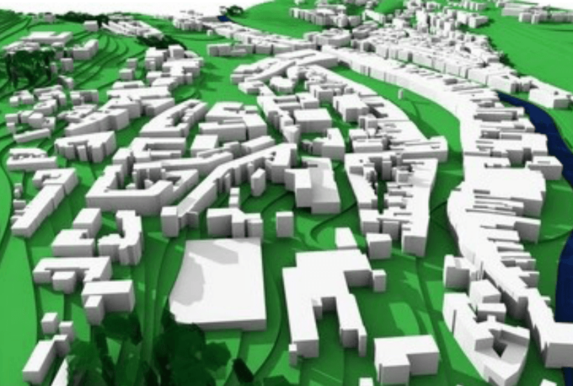
When it comes to Planning and Architectural Design, the application of 3D models helps in determining heights, density, and the type of use of structures in the larger city. It assists organizations in making zoning choices to guarantee compliance with the general structure of the city. Where space is scarce as is the case with many urban centers, 3D mapping is especially useful when it comes to planning activities in areas where different types of development are being planned in a given piece of land.
Infrastructure Planning and Public Transport
Infrastructure is the foundation of any city and 3D mapping provides urban planners with a strong support system to address roads, bridges, public transport, and utilities. Applying 3D map data in GIS, Urban Planners can detect congested places, estimate the significance of new road topologies, and design more effective transport systems. This helps improve traffic flow, reducing traffic jams, and increasing mobility of the public.
In addition, the technique of 3D mapping helps urban planners to evaluate and renovate old structures in a better way. For instance, using 3D laser scanning, cities can accurately assess where underground utilities are and develop maintenance or expansion plans easily. There is greater emphasis on public participation in the planning process and the public has a more active role in the development of the city.
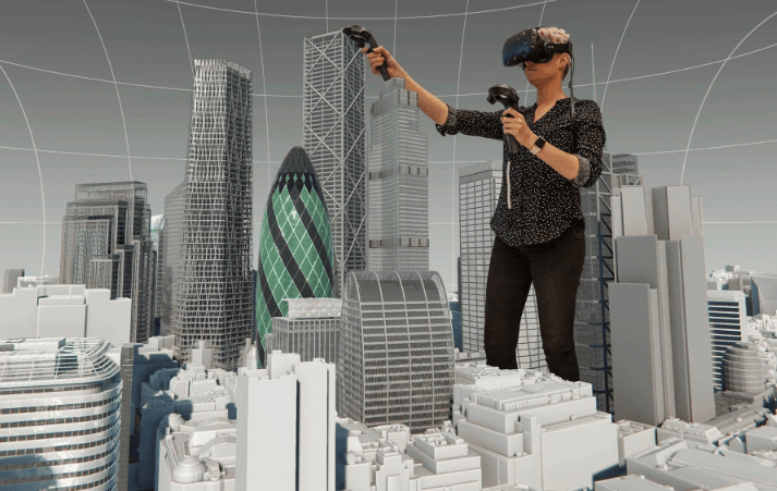
3D mapping is the most helpful for the public since it allows them to visualize the proposed plans and developments. Utilizing virtual reality and 3D visualization tools enable Urban Planners to show concepts to the people in an efficient manner.
It makes it possible for the citizens to 'physically' visit new developments and see how they move around, the public areas, and the changes that will be brought about to the areas they live in. This helps in developing participatory decision-making since the recipients of the development solutions such as residents, developers, and local government can collectively make decisions on sustainable development solutions.
New Perspective for Urban Development.
In the following years as the Urban Environment transitions to smart environments where Information Technology complements the city structures, 3D mapping is going to become paramount. All the traffic within the city, smart buildings, and even power usage can be done using 3D maps with the help of the IoT (Internet of Things). Therefore, the integration of elements of 3D modeling with data analysis is advantageous in improving the functionality of smart cities.
3D mapping is the key to developing smart city surveillance in Singapore and Dubai for sustainability, security, and effectiveness. These plans are the future of how cities are going to be developed where they can switch up to fit the people residing in the area, as well as the surrounding environment. They are some of the areas where technologies like 3D mapping exist and are transforming how Architecture, Landscape Architecture, and Urban Planning are being accomplished.
In any case - when it comes to discussing the construction of energy efficient structures and landscaping or the concept of small cities, 3D mapping regulations provide clarity and visualizations.
Because all segments of society are calling for sustainable, resilient, and habitable environments, 3D mapping will still be relevant. It points to the professionals where to focus the planning and designing for the current one and where to seek how to address the next barriers. Given the modern tendencies for urbanization, 3D mapping remains one of the most widely used and valuable enabler solutions in constructed environments.
This article clearly and concisely describes how 3D mapping is inserted into and within Architecture like Architecture, Landscape Architecture, and Urban Design. All of these sections give examples of addendums of the mentioned technology; various applications, current applications, and possible future applications.