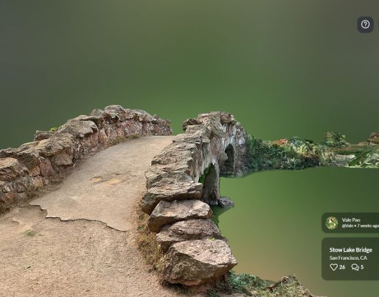
These captivating three-dimensional landscapes can be derived from a diverse array of data sources, including satellite imagery, aerial photography, and ground-based sensors.
Within the realm of 3D mapping, the fundamental building blocks are known as 3D models. In the domain of Geographic Information Systems (GIS), a 3D model is a construct meticulously designed to depict an object in the three-dimensional coordinates of x, y, and z.
In the language of GIS, these 3D models are commonly referred to as 3D features, precisely crafted to encapsulate real-world objects within maps or scenes.
What sets these 3D features apart is their ability to incorporate elevation values (referred to as z-values) seamlessly integrated into the geometric fabric of the feature.
This sophisticated process of collecting and representing objects in this immersive dimension is what we fondly term 3D mapping.
For a substantial part of our history, the representation of three-dimensional objects was confined to the limitations of existing technologies.
Traditional printed maps, for instance, could only portray these objects in two-dimensional forms, relying on techniques like contours and hill-shading.
However, the relentless march of technological progress, especially within the realm of GIS and interactive mapping, has not only unleashed the power to represent 3D objects authentically but has also ushered in the era of interactive experiences.
This evolution has reached remarkable heights, extending to the point where 3D maps can be viewed and explored through the immersive lenses of virtual reality (VR) headsets and interactive boxes, reshaping the way we perceive and interact with our dynamic world.
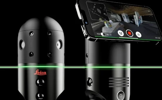
The unstoppable advancement of technology has had a significant impact on the way data is collected. New and compact devices have been developed, including LiDAR technology, geoSLAM devices, drones equipped for data acquisition, 360-degree cameras, VSLAM (Visual Simultaneous Localization and Mapping) systems, and sophisticated depth cameras.
These innovations have improved spatial understanding and added a new level of precision and depth perception to data collection.


Leave feedback about this